
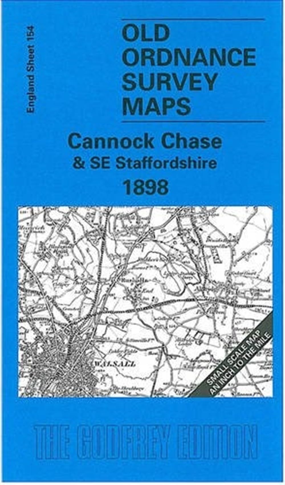
Bartholomew's Royal Atlas of England and Wales 1898 - Maps for England & Wales
S&N Publishing
S&N Genealogy Supplies\n\nShop Home - \n\nSoftware - \n\nBinders & Archival Storage - \n\nCensus -\n\nData CDs - \n\nCharts - \n\nBooks & Magazines\n\n Buy with confidence from the largest UK genealogy publisher and retailer\n\nBartholomew's 1898 Royal Atlas of England and Wales\nA complete series of topographical maps, physical and statistical charts, town plans, and index of 35,000 place names in England and Wales. The maps are at a scale of four miles to an inch, and includes City street maps showing locations no longer in existence through development and bombing in World War II.\n\n Quick Despatch\n\n Free UK Delivery\n\n Worldwide Delivery\n\nAbout Us\n\nS&N Genealogy Supplies is the largest UK genealogy publisher and retailer, with over two decades of experience serving the needs of computer-based family historians. Founded in 1992, we publish and retail a broad range of family history research material, software, books, binders, and mu.
Compare prices (1 shop)
| shop | Price | Action |
|---|---|---|
|
|
19,95 GBP | Go to shop |
Similar products
-

Bartholomew NORTH ENGLAND folding map
From 3,99 EUR -
-
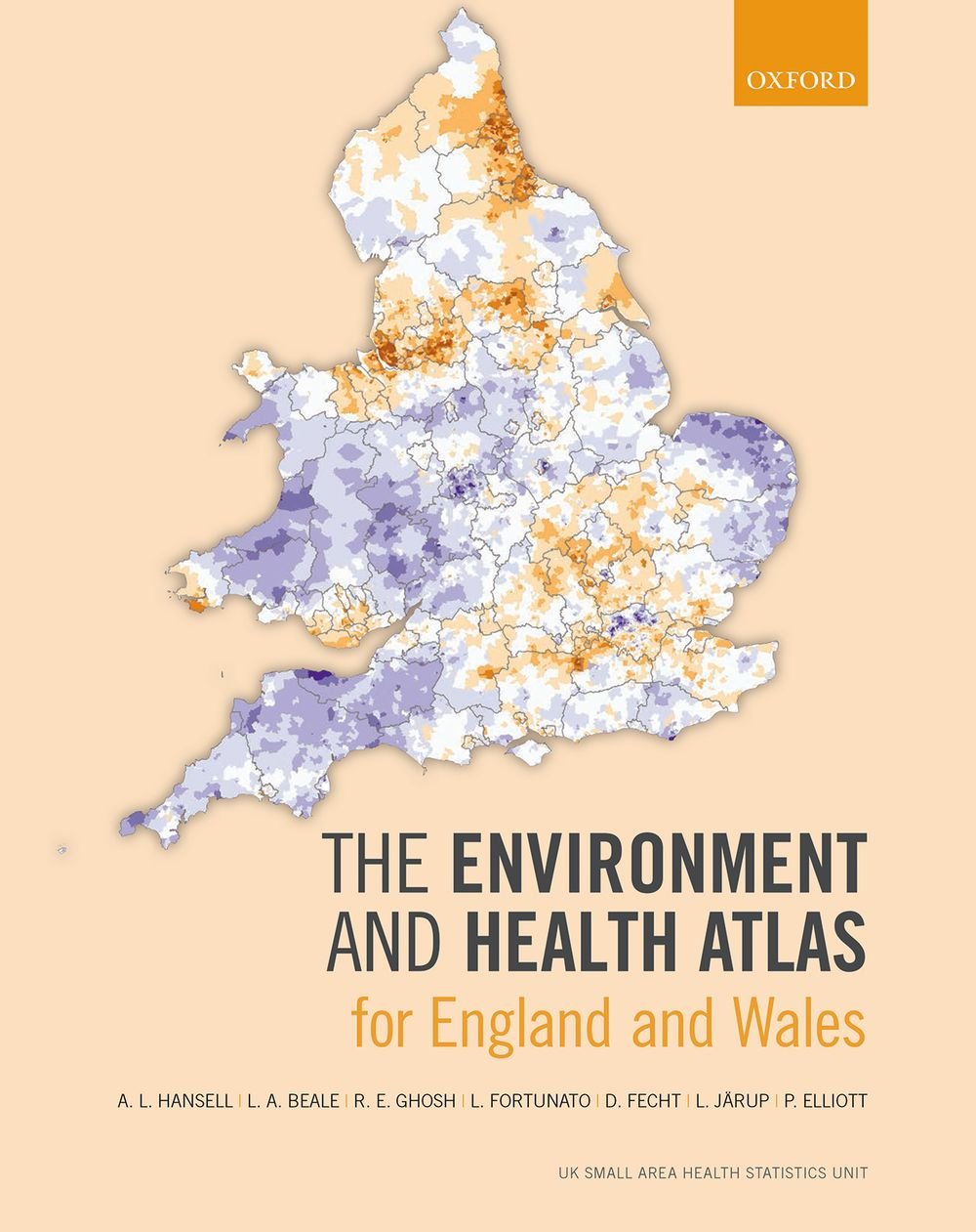
The Environment and Health Atlas for England and Wales
From 59,19 EUR -

Wales A-Z Road Atlas by A-Z Maps Paperback
From 6,75 EUR -
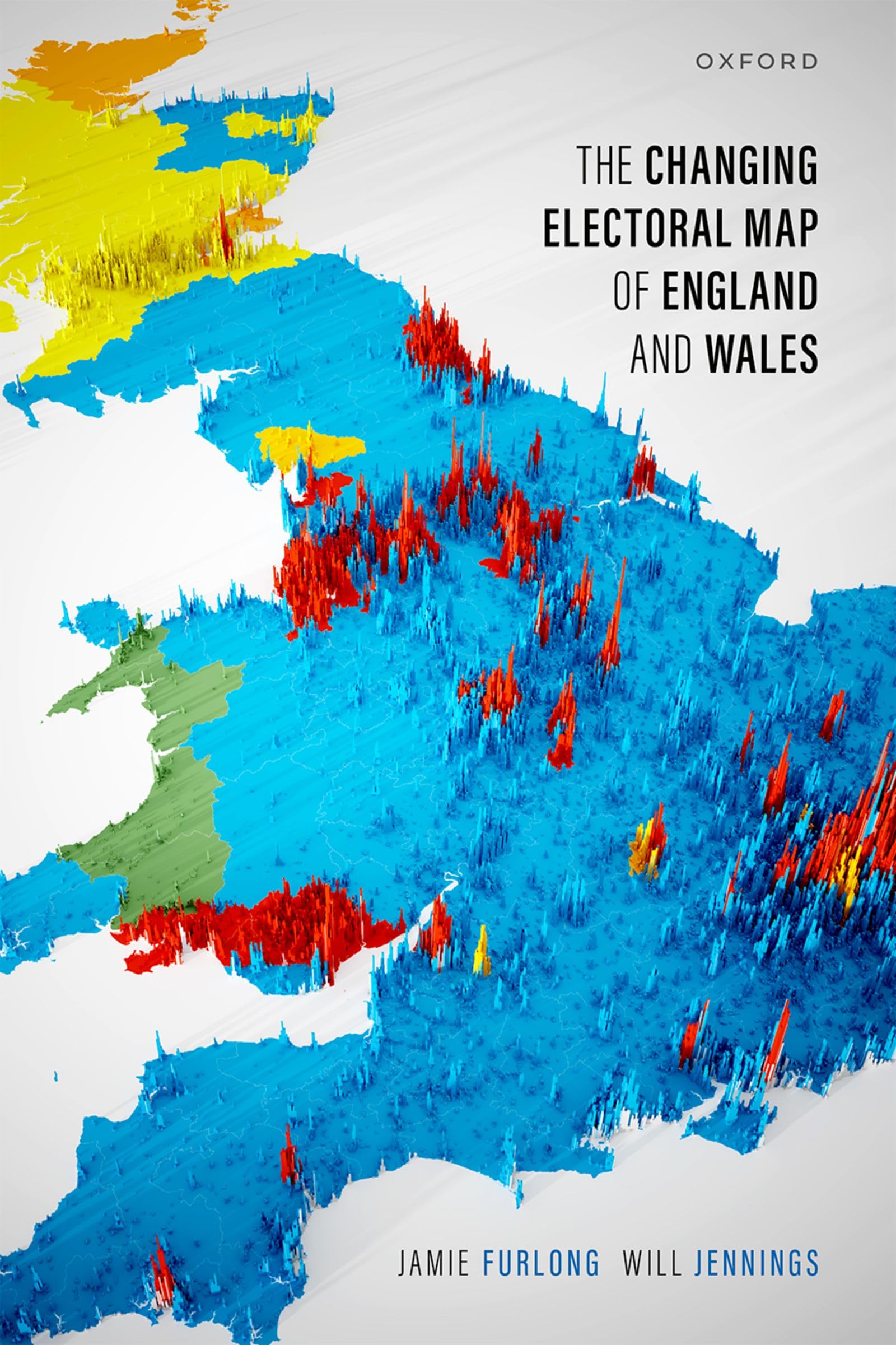
The Changing Electoral Map of England and Wales
From 28,50 EUR -

Wales and Southern England Adventure Map
From 14,95 EUR