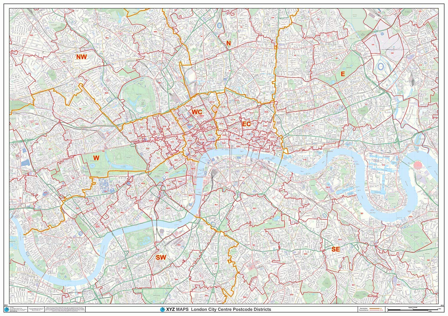
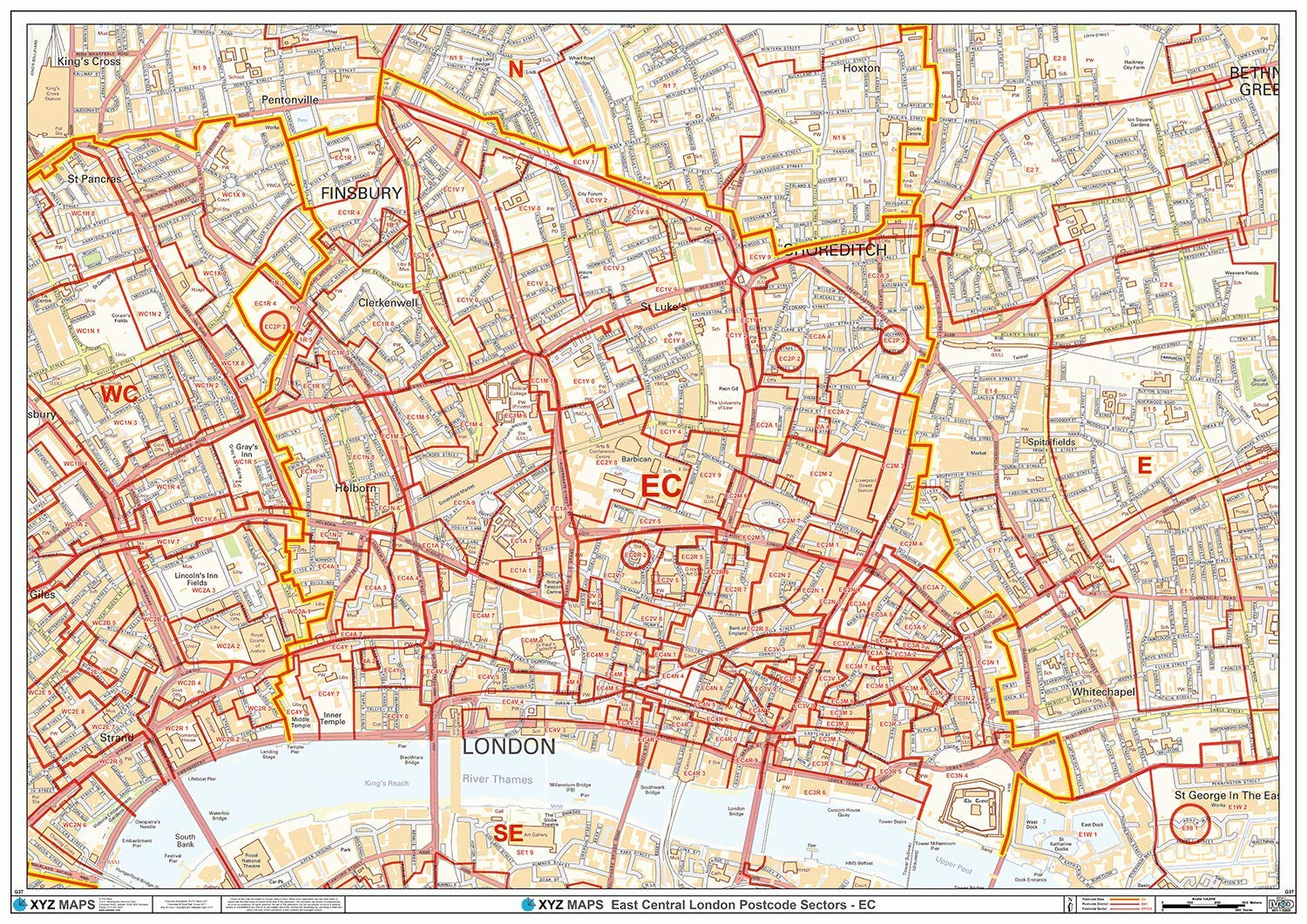
London City Centre Postcode Districts - (D12) - Wall Map-Paper
XYZ Maps
This London City Centre District Wall Map shows Detailed Postcode District Boundaries (EC1, EC2) on a Coloured Street Level Background. A0 Size - 1189mm x 841mm Art quality 120 gsm paper
Compare prices (1 shop)
| shop | Price | Action |
|---|---|---|
|
|
29,99 GBP | Go to shop |
Similar products
-
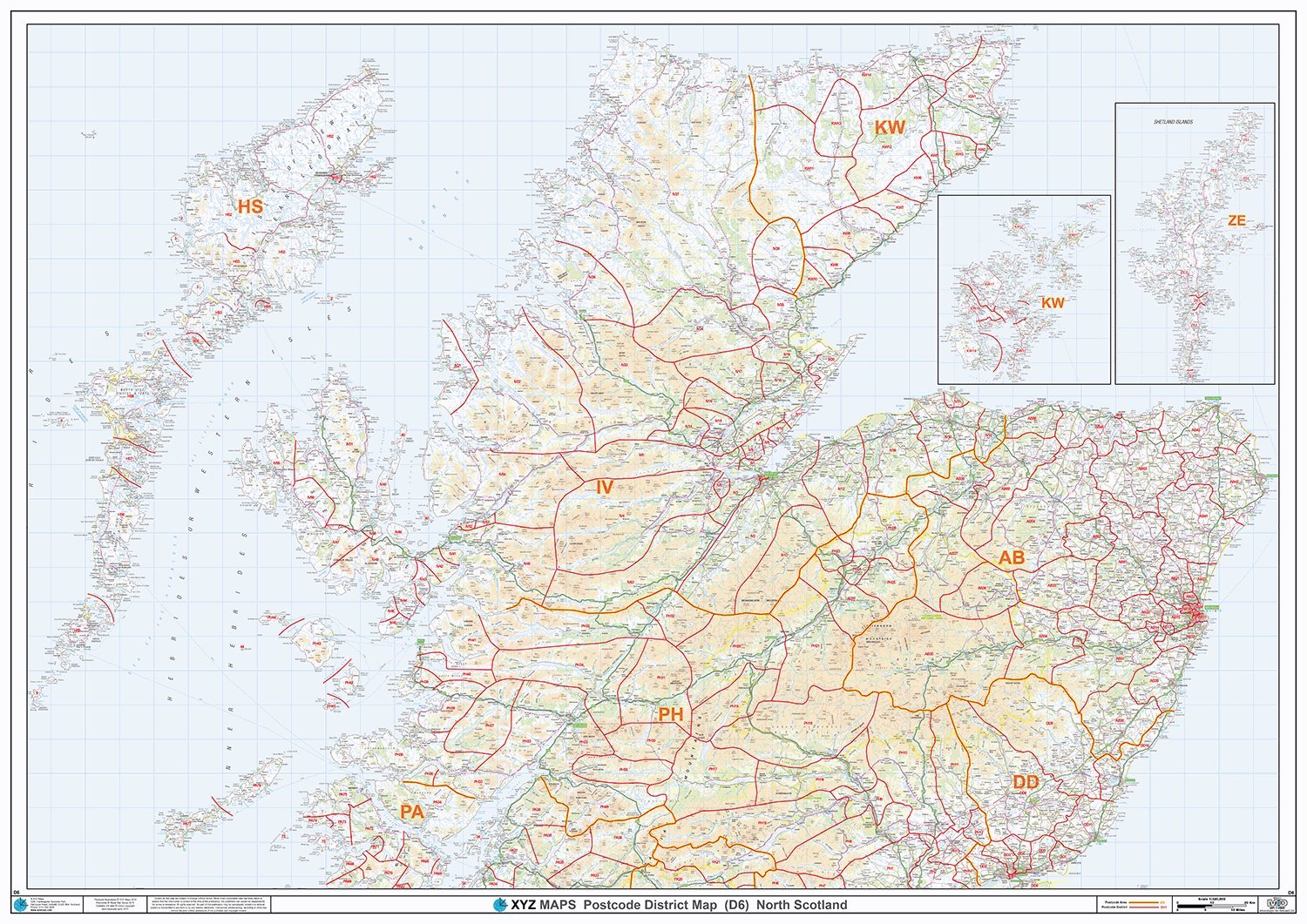
South Scotland - Postcode District Wall Map-Paper
From 29,99 EUR -
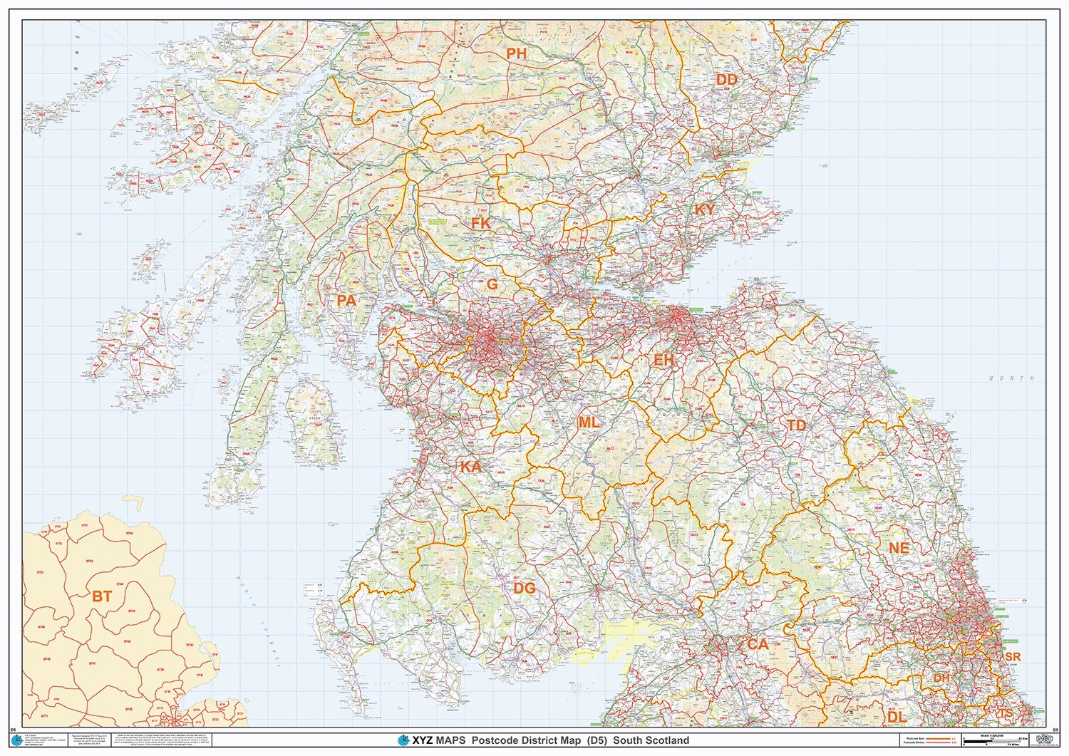
North Scotland - Postcode District Wall Map-Paper
From 29,99 EUR -
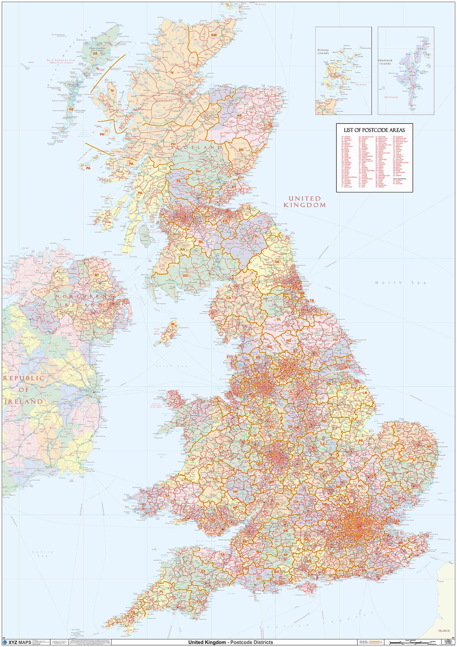
UK Political - Postcode District Wall Map (6'x4')-Paper
From 73,32 EUR -
East City London - EC - Postcode Wall Map - Paper
From 29,99 EUR -
-
East City London - EC - Postcode Wall Map - Plastic Coated
From 38,99 EUR