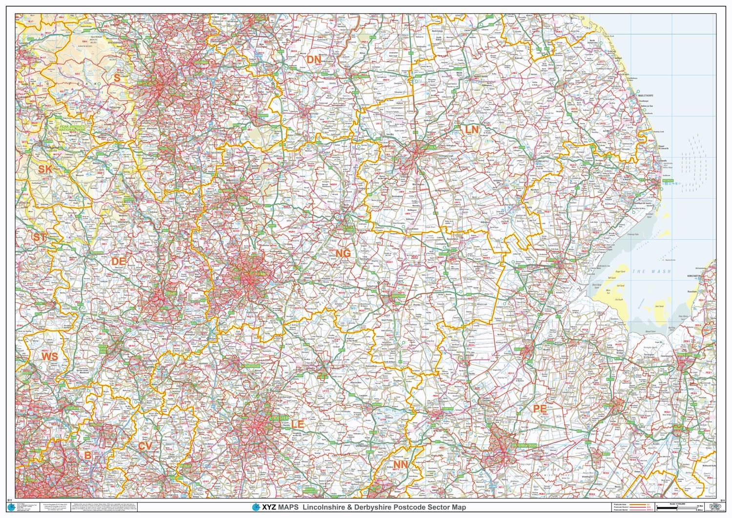
Postcode Sector Map - (S11) - Lincolnshire & Derbyshire - Wall Map-Plastic Coated
XYZ Maps
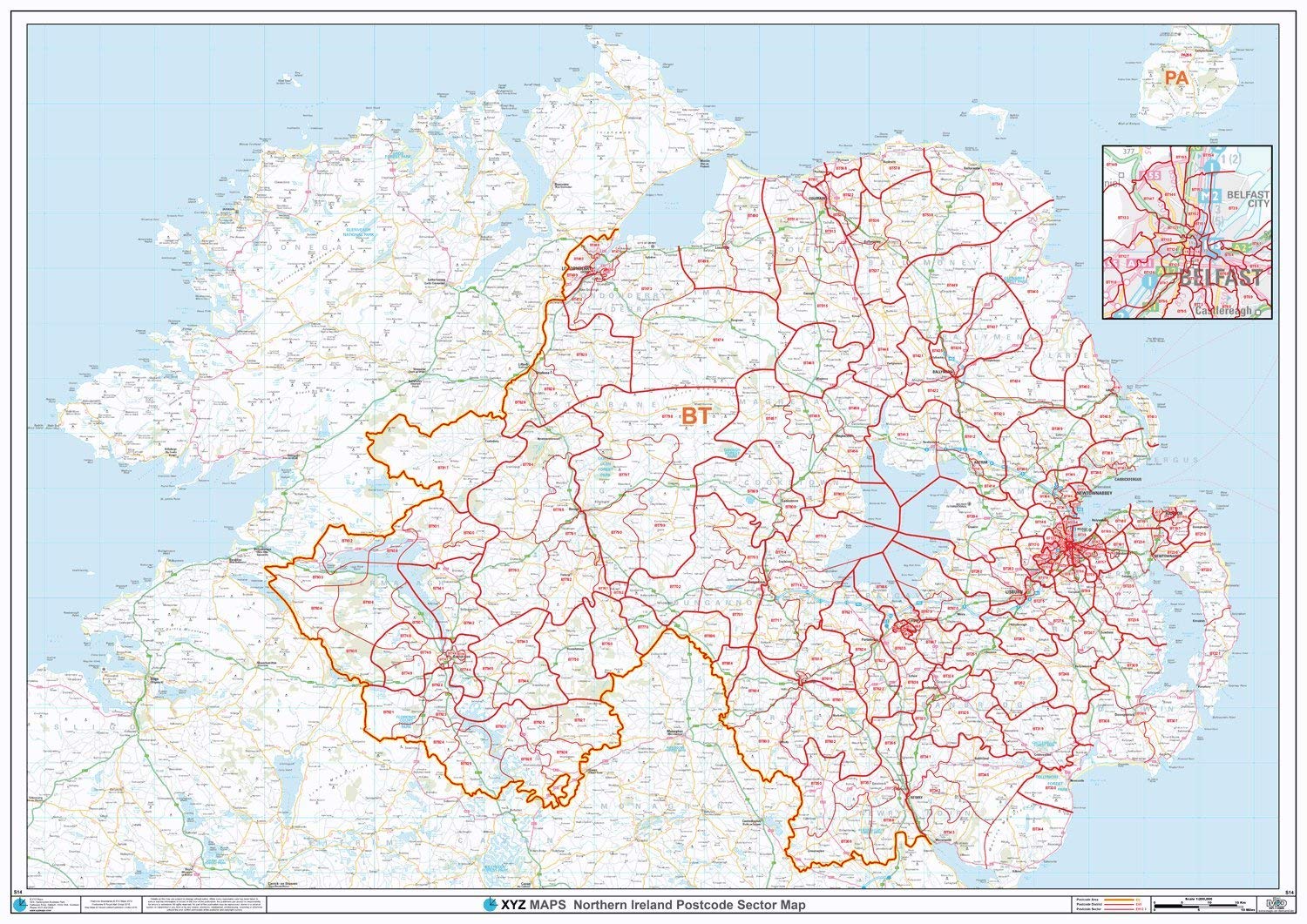
This Lincolnshire & Derbyshire Sector Wall Map shows detailed Postcode Sector Boundaries (LN1 1, LN1 2) on a Comprehensive Background A0 Size - 1189mm x 841mm Plastic Coated waterproof / wipeable
Compare prices (1 shop)
| shop | Price | Action |
|---|---|---|
|
|
38,99 GBP | Go to shop |
Similar products
-

Postcode Sector Map - (S13) - Yorkshire - Wall Map-Paper
From 29,99 EUR -
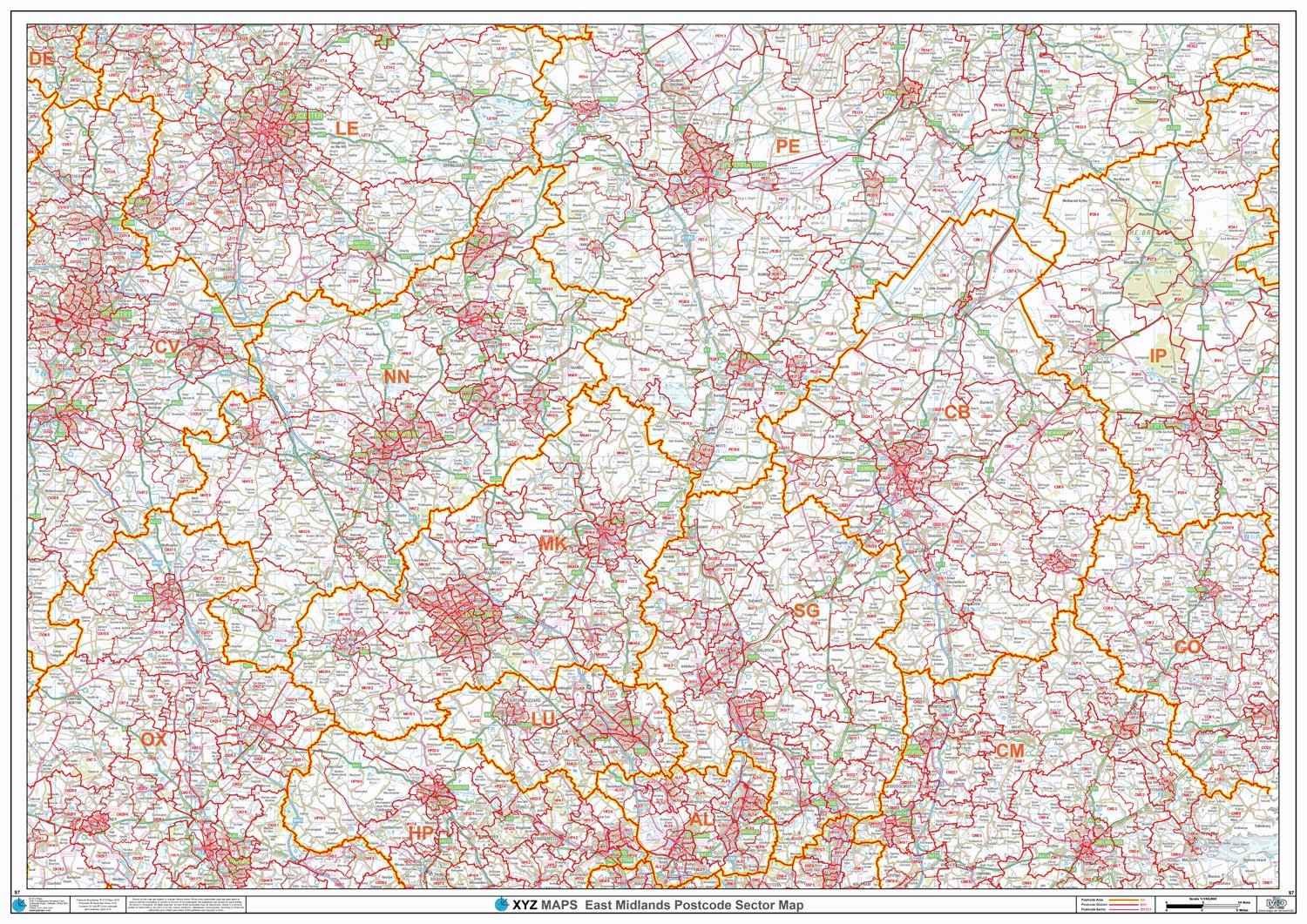
Postcode Sector Map - (S7) - East Midlands - Wall Map-Paper
From 29,99 EUR -
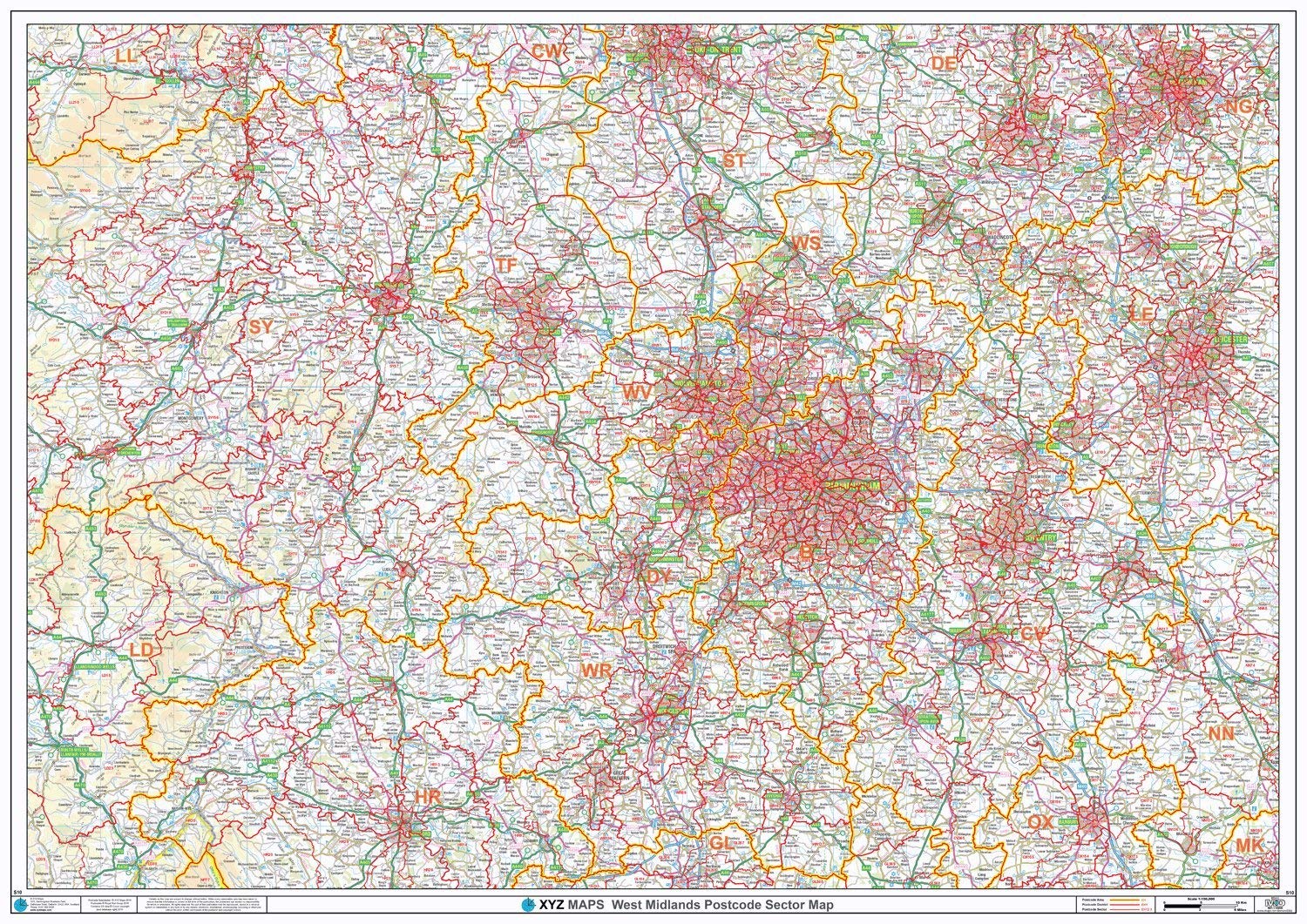
Postcode Sector Map - (S10) - West Midlands - Wall Map-Paper
From 29,99 EUR -
-
-
