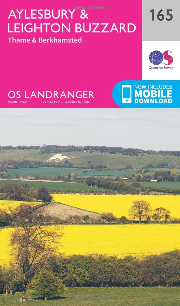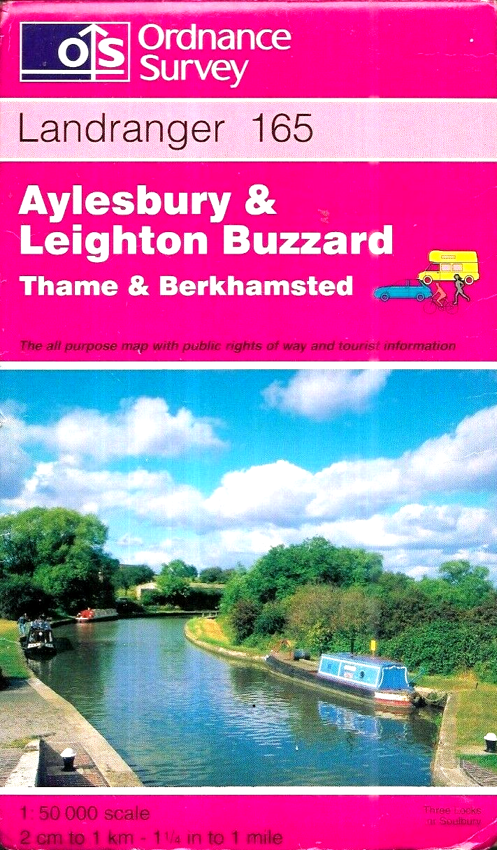
Aylesbury and Leighton Buzzard Landranger Map by Ordnance Survey
The Aylesbury and Leighton Buzzard Landranger Map by Ordnance Survey is a reliable and detailed all-purpose folding map of the region in England. Published in 1997, this map features a map scale of 1:50,000 and is a part of the Ordnance Survey series. With its English language content and origin from the United Kingdom, this map is a valuable resource for navigating the Great Britain region, specifically focusing on Aylesbury and Leighton Buzzard areas. Ideal for both travellers and locals, this Ordnance Survey map provides accurate information and convenient folding capabilities for on-the-go use.
Compare prices (1 shop)
| shop | Price | Action |
|---|---|---|
|
|
3,50 GBP | Go to shop |