Ordnance Survey Unisex Pink Landranger 156 Saxmundham, Aldeburgh & Southwold Map With Digital Version
Ordnance Survey
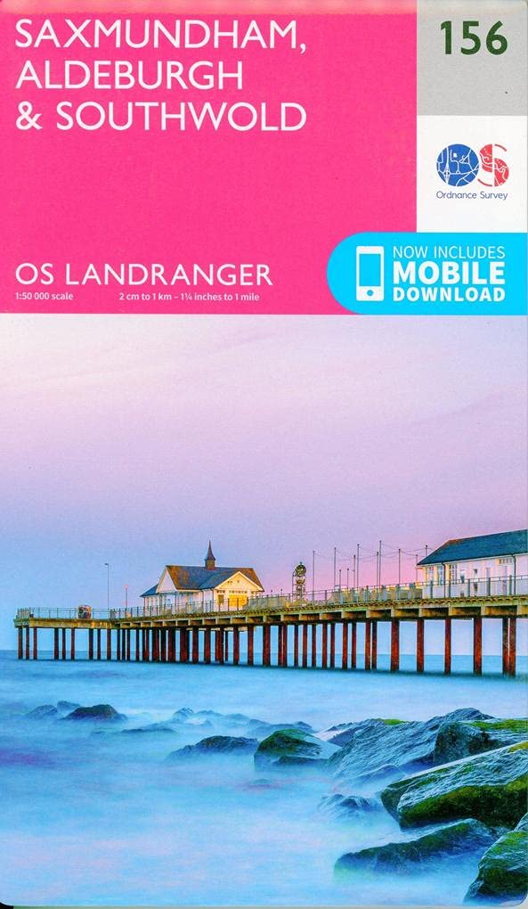
Explore the beautiful Suffolk coastline with the Ordnance Survey Landranger 156 Saxmundham, Aldeburgh & Southwold map. This highly detailed paper map is an essential companion for walkers, cyclists, and outdoor enthusiasts planning to navigate the diverse landscape of Suffolk. Featuring clear topography and key landmarks, this map ensures you stay on the right track throughout your journey. Each purchase includes a digital download version, allowing you to access your map conveniently on your smartphone or tablet for reliable navigation in the field. Simply scratch off the code inside the cover to redeem your digital copy via the Ordnance Survey website. This edition covers vital local routes including the Angles Way, Suffolk Coast Path, Fynn Valley Walk, and parts of Boudica's Way, making it ideal for covering popular towns like Aldeburgh, Beccles, Framlingham, Harleston, and Southwold. Product Summary: Ordnance Survey Landranger 156 map, Suffolk hiking and cycling guide, digital download included, compatible with smartphone and tablet, covers Saxmundham, Aldeburgh, and Southwold.
Compare prices (3 shops)
| shop | Price | Action |
|---|---|---|
|
|
7,80 GBP | Go to shop |
|
|
7,80 GBP | Go to shop |
| Outdoor Action | 9,99 GBP | Go to shop |
Similar products
-
-

-

-

-
Saxmundham, Aldeburgh & Southwold
From 16,99 EUR -