
Newquay Bodmin Camelford St Austell Landranger Map 200 Ordnance Survey Latest
Ordnance Survey
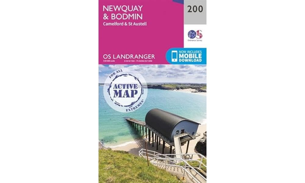
Explore the stunning landscapes of Cornwall with the Ordnance Survey Landranger 200 map, covering Newquay, Bodmin, Camelford, and St Austell. This comprehensive map not only provides detailed physical mapping but also includes a digital version, redeemable via OS.uk/redeem. Simply scratch off the panel inside the cover to reveal your unique code and follow three easy steps to download your digital map to your smartphone or tablet. Perfect for hikers, cyclists, and outdoor enthusiasts, this map highlights key trails and areas such as Bodmin Moor, Land's End, the Camel Trail, Saints' Way, Watermill Walk, Moorland Walk, Camelford Way, and the South West Coast Path. Discover the beauty of Cornwall with detailed coverage of Newquay, Padstow, St Austell, and Wadebridge. Product Summary: Ordnance Survey Landranger 200 map, Newquay, Bodmin, Camelford, St Austell, Cornwall, digital map included, Bodmin Moor, Land's End, South West Coast Path, Camel Trail, Saints' Way, hiking map, cycling map, outdoor exploration.
Compare prices (3 shops)
| shop | Price | Action |
|---|---|---|
|
|
7,80 GBP | Go to shop |
|
|
7,80 GBP | Go to shop |
|
|
10,99 GBP | Go to shop |
Similar products
-

Newquay & Bodmin : Camelford & St Austell
From 13,99 EUR -

-

Newquay & Bodmin Camelford & St Austell (Sheet map, folded)
From 14,79 EUR -
-

-
Newquay & Bodmin : Camelford & St Austell
From 11,65 EUR