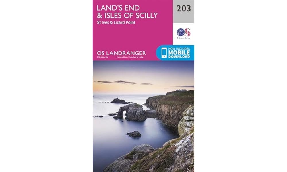
Ordnance Survey Landranger Map 203 Lands End & Isles Of Scilly, St
Ordnance Survey
Landranger Map \n\nOnly latest edition\n\nIdeal for the tourist, the OS Landranger series of 204 maps provides a reference of roads, tracks visitor attractions, landmarks and areas of interest. This is the ideal Ordance Survey map for planning day trips, short breaks and road cycling in towns or in the countryside.\n\n1:50,000 scale\n2 cm to 1 km or 1\u00BC inches to 1 mile\n\nThe OS Landranger Map is the ideal map for planning the perfect day out. Whether visiting town or country, a wealth of visitor attractions, including National Trust properties, museums, gardens, golf courses and castles, are illustrated. The 1:50k scale mapping provides an ideal compromise between detail and coverage whilst still retaining topographical and contour properties.\n\nOS Landranger map features include:\n\n\u2022 Roads, railways and ferry routes\n\u2022 Paths, national trails and cycle routes\n\u2022 National Trust areas\n\u2022 Forestry Commission land\n\u2022 National Parks\n\u2022 Tourist informap
Compare prices (2 shops)
| shop | Price | Action |
|---|---|---|
| Outdoor Action | 9,99 GBP | Go to shop |
|
|
10,99 GBP | Go to shop |
Similar products
-

-

Isles of Scilly by Ordnance Survey (Sheet map, folded)
From 14,79 EUR -

Isles of Scilly by Ordnance Survey (Sheet map, folded)
From 12,18 EUR -
-

Ordnance Survey Landranger Map 5 Orkney - Northern Isles
From 10,99 EUR -
Isle of Arran Landranger Map 69 Ordnance Survey Latest
From 8,99 EUR