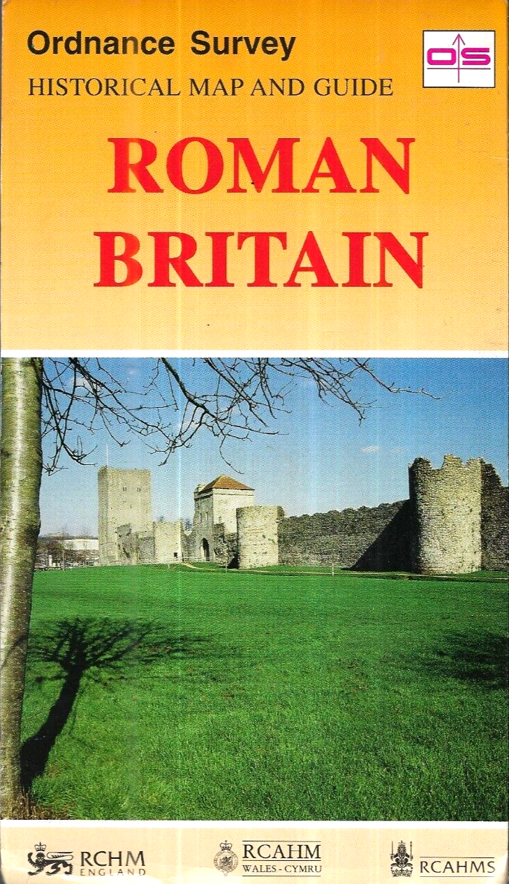
Roman Britain (Historical Map and Guide) by Ordnance Survey
The Roman Britain Historical Map and Guide by Ordnance Survey is a detailed folding map that provides a comprehensive look at the Roman Britain region of Great Britain. Published in 1994, this map features a scale of 1:625,000 and includes important historical information about the area. Authored by Ordnance Survey, this publication serves as a valuable resource for history enthusiasts and travellers alike, offering a unique insight into the Roman-era settlements and landmarks in the United Kingdom.
Compare prices (2 shops)
| shop | Price | Action |
|---|---|---|
|
|
1,16 GBP | Go to shop |
|
|
4,99 GBP | Go to shop |
Similar products
-

-

-

Roman Britain by Ordnance Survey (Sheet map, folded)
From 8,94 EUR -

-

-