Ordnance Survey Active Landranger Map 180 Barnstaple and Ilfracombe
Ordnance Survey
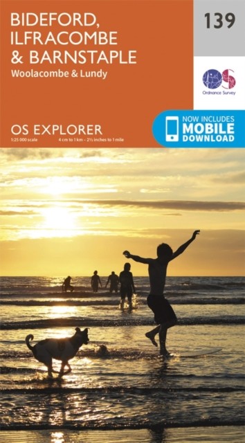
Perfect for day trips and short breaks, the Landranger Series of OS Maps provides 40 by 40 kilometres (25 by 25 miles) of clear, easy-to-read 1:50,000 scale coverage, wherever you're heading in Great Britain. Landrangers are overlaid with National Grid squares, so every point in the country can be given a unique identifying number. As well as a good level of geographical detail, the Landrangers display various places of interest, picnic areas, campsites and tourist information. In addition, Rights of Way information is displayed for England and Wales. This Active version has a plasic coating across the paper, making it tough and weatherproof. It still folds easily so that it can be stowed in your pocket or rucksack. Once you have recieved the paper map you will also be able to download the electronic version to your iOS or Android smartphone or tablet for use with Ordnance Survey's OS Maps app. To claim the download you will need the unique code hidden by the scratch-off panel on the i...
Compare prices (7 shops)
| shop | Price | Action |
|---|---|---|
|
|
10,20 GBP | Go to shop |
|
|
10,20 GBP | Go to shop |
|
|
13,55 GBP | Go to shop |
|
|
14,79 GBP | Go to shop |
|
|
15,03 GBP | Go to shop |
|
|
16,99 GBP | Go to shop |
|
|
16,99 GBP | Go to shop |