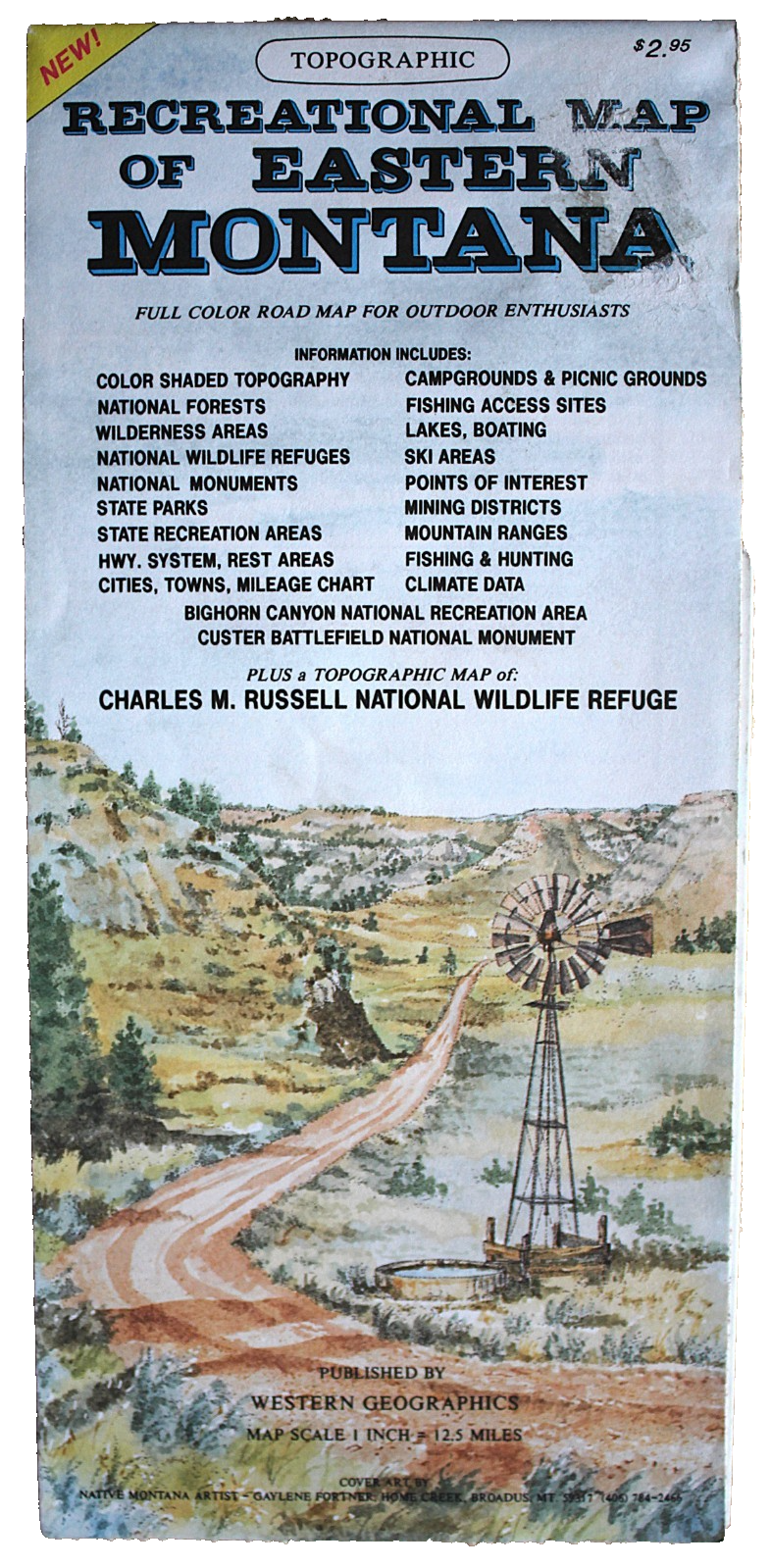
Recreational Map of Eastern Montana: Full Colour Road Map Topographic
The booklet is in overall very good condition - clean, crisp and free from marks but it does have 2 pinholes the intersections of the fold lines and a glue stain to the top right of the front cover,The booklet is 10.5cm wide by 22.5cm high when folded opening to 83.5cm wide by 61cm highOne side has a map of the region at a scale of 1inch to 12.5 miles with a listing of points of interest and a climate data & mileage chartThe reverse side has a listing of Cities Towns & Places and provides sections coveringMountain ranges - Mining Districts - Wilderness areas - Hunting - Recreation sites - Cities Towns and Places - State Parks & Monuments - Boating - National Wildlife Refuges - Ski areas - Custer Battlefield - Fishing - State Recreation Areas & Fishing access sites - Bureau of Land Management - National ForestsThere is also a map at a scale of 1 inch to 6 miles of the Charles M Russell National Wildlife Refuge
Compare prices (1 shop)
| shop | Price | Action |
|---|---|---|
|
|
7,99 GBP | Go to shop |
Similar products
-
-

-

Montana Recreation Map
From 9,95 EUR -

Montana Recreation Map
From 9,15 EUR -
Montana Recreation Map: Big Sky Country
From 9,15 EUR -
