

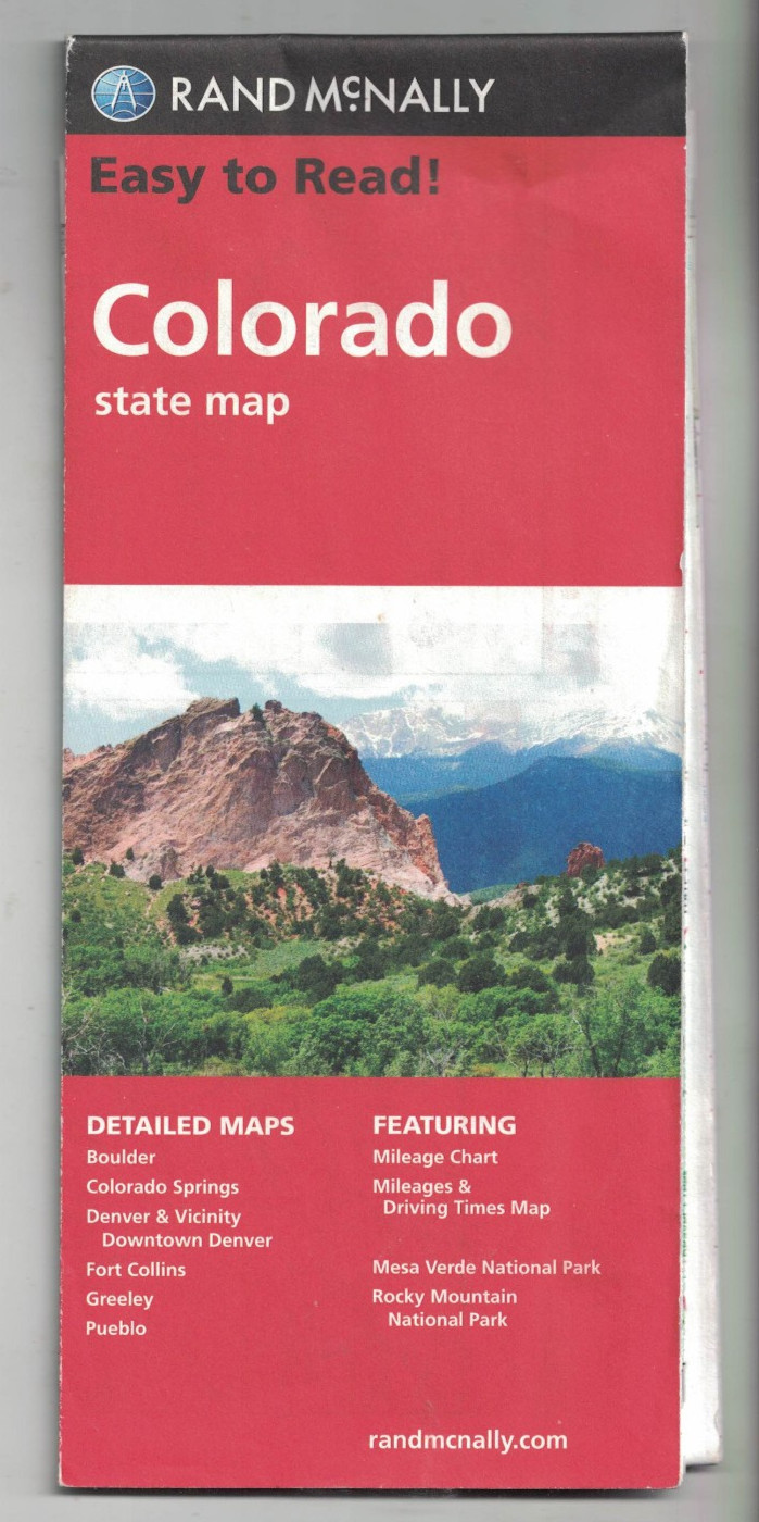
Colorado Wyoming State Map - Rand McNally
The map itself is clean crisp and unmarked but has one 4cm tear, one 2cm tear and two 3mm tears to vertical fold lines. These have been repaired with invisible tape and do not detract from using the map. 'The back cover is slightly grubby at the edges.The double sided map is 10.5cm wide by 22.5cm high opening to 92.5cm wide by 65 cm highOne side has a map of Clorado at approximately 18 miles to an inch and an information area with mapsColorado Springs at 4 miles to an inchBoulder, Fort Collins and Pueblo at 2.67 miles to an inchDenver & Vacinity at 4.67 miles to an inch\nThe reverse has a map of Wyoming at approximately 21 inches to a mile and an information area with maps of Casper and Cheyenne at 3 miles to an inch and the Yellowstone and Grand Teton National Parks at approximately 16 miles to an inch\nThe photographs are of the actual map offered for sale.
Compare prices (1 shop)
| shop | Price | Action |
|---|---|---|

|
4,99 GBP | Go to shop |
Similar products
-
-

Rand McNally Easy to Fold: Arkansas State Map Rand Mcnally
From 11,00 EUR -

-
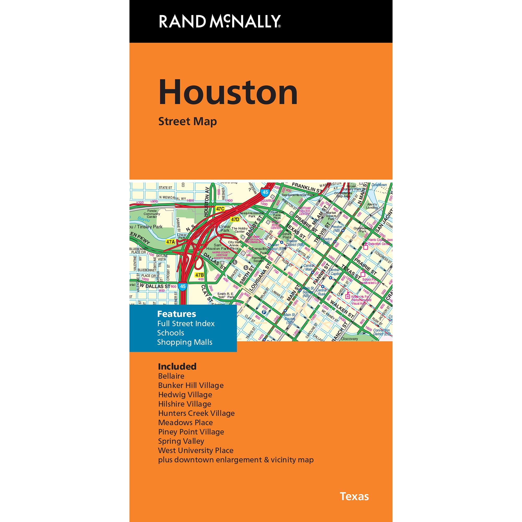
Rand McNally Houston TX Street Map
From 11,99 EUR -

-
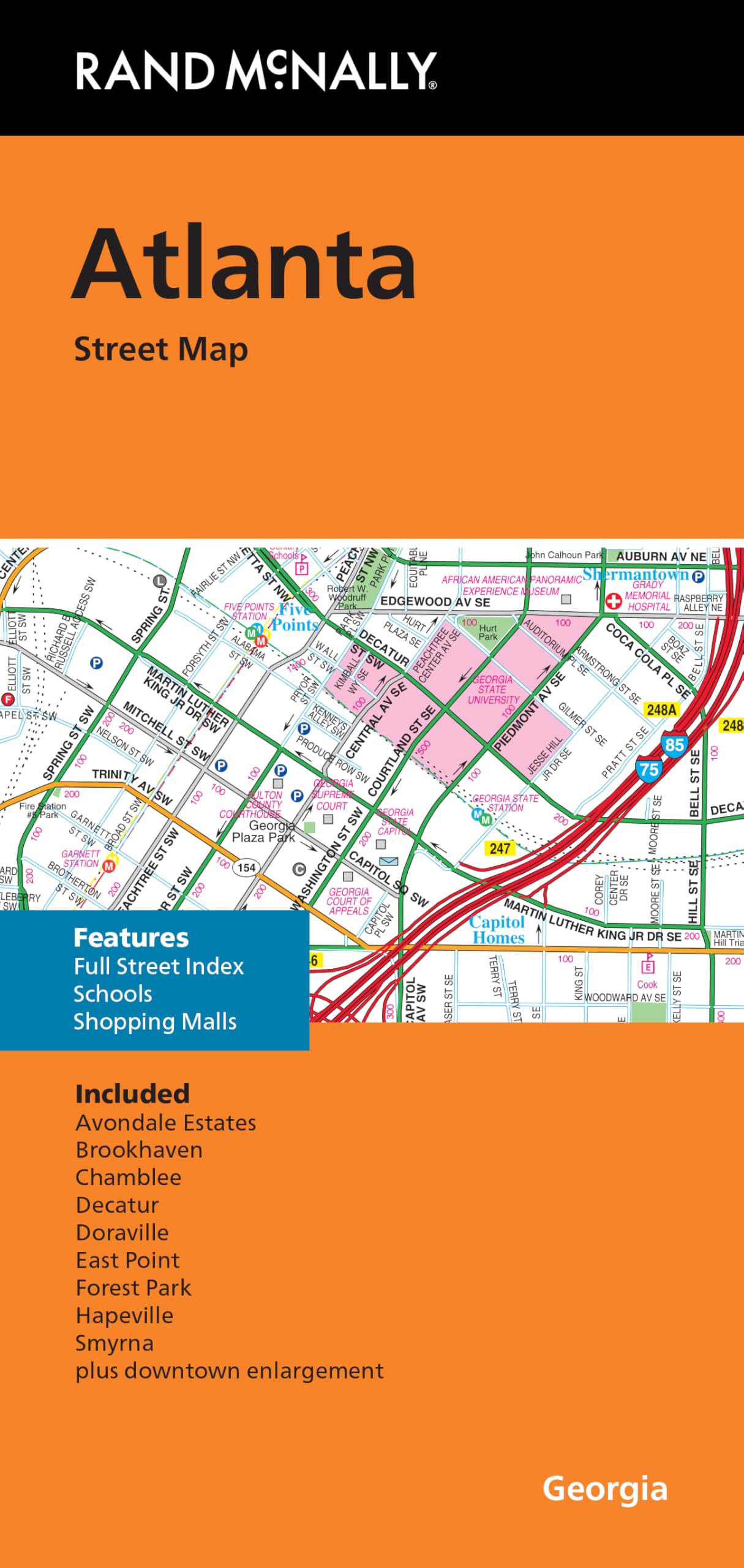
Rand McNally Folded Map: Atlanta Street Map
From 10,99 EUR