

Phillip's, Street Atlas; Surrey
An atlas of Surrey, giving comprehensive and detailed coverage of the region. The mapping is produced by the Ordnance Survey to Philip's specification and gives the user complete coverage of all urban and rural areas. The mapping is at a standard scale of 3.5 inches to one mile and is complete with postcode boundaries. route-planning map and an administrative and postcode map at the front of the atlas. The main maps show every named road, street and lane clearly with through routes highlighted. School locations are marked and emergency services, hospitals, police stations, car parks and rail and bus locations are all featured. There is a comprehensive index of street names and postcodes that includes schools, industrial estates, hospitals, sports centres, etc which are highlighted in colour.\n\nWe are sure that you will be delighted with your purchase.\n\nHowever, in the event that an issue may arise, please do not hesitate to contact us before leaving negative feedback, as we will a.
Compare prices (1 shop)
| shop | Price | Action |
|---|---|---|

|
4,49 GBP | Go to shop |
Similar products
-

Surrey Street Atlas Philips 1990 Hardback Book
From 15,00 EUR -
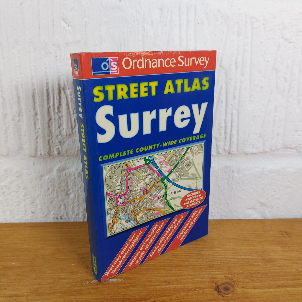
Os / Philip's Street Atlas: Surrey — Ordnance Survey
From 4,49 EUR -
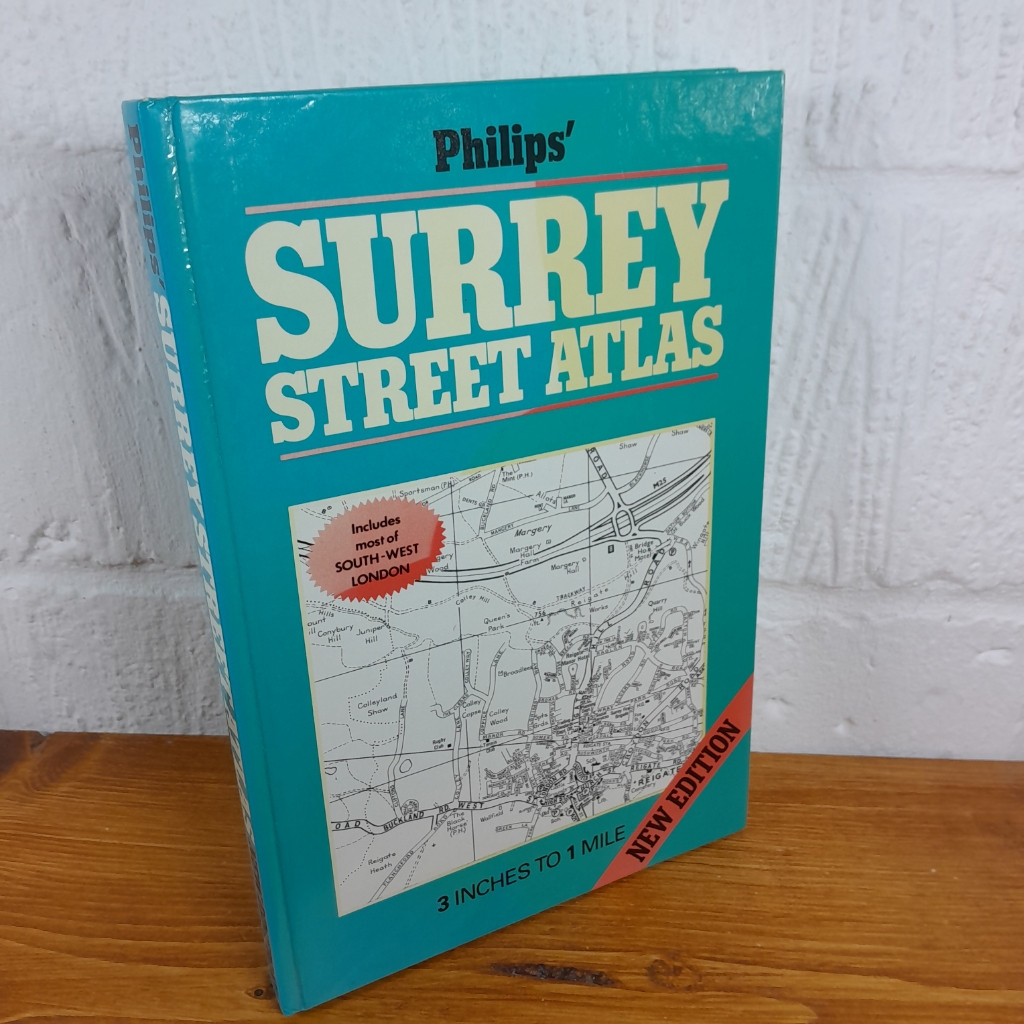
Philip's Surrey Street Atlas: 3 Inches to 1 Mile
From 4,99 EUR -

-

C48 First Atlas Book by Phillip Steele (Hardcover, 2017)
From 13,53 EUR -
