
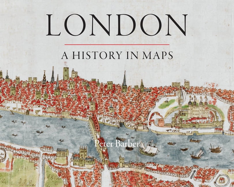
London: A History in Maps (London Topographical Society Publication) By Peter B
British Library Publishing
Over the past 2000 years London has developed from a small town, fitting snugly within its walls, into one of the world's largest and most dynamic cities. This book illustrates and helps to explain the transformation. Side-by-side with the great, semi-official but sanitised images of the whole city, there are the more utilitarian maps and plans of the parts - actual and envisaged - which perhaps present a more truthful picture. But the maps and panoramas are far more than topographical records. They all have something unique to say about them concerns, assumptions, ambitions and prejudices of Londoners at the time when they were created. The book reveals the 'inside story' behind one of the world's greatest cities.\n\nLondon: A History in Maps\n\nFree UK delivery on this item.\n\nThis brand new item is available with free UK delivery using Royal Mail tracked services.\n\nPlease note: the price advertised is as low as we can go \u2014 we do not accept or respond to offers. We're also ;
Compare prices (5 shops)
| shop | Price | Action |
|---|---|---|

|
28,44 GBP | Go to shop |
|
|
29,56 GBP | Go to shop |

|
32,45 GBP | Go to shop |
|
|
32,86 GBP | Go to shop |
|
|
33,32 GBP | Go to shop |
Similar products
-

London A History
From 62,44 EUR -

London A History
From 18,56 EUR -

A History of the World in 500 Maps
From 25,85 EUR -

History Of The World In 500 Maps
From 23,09 EUR -
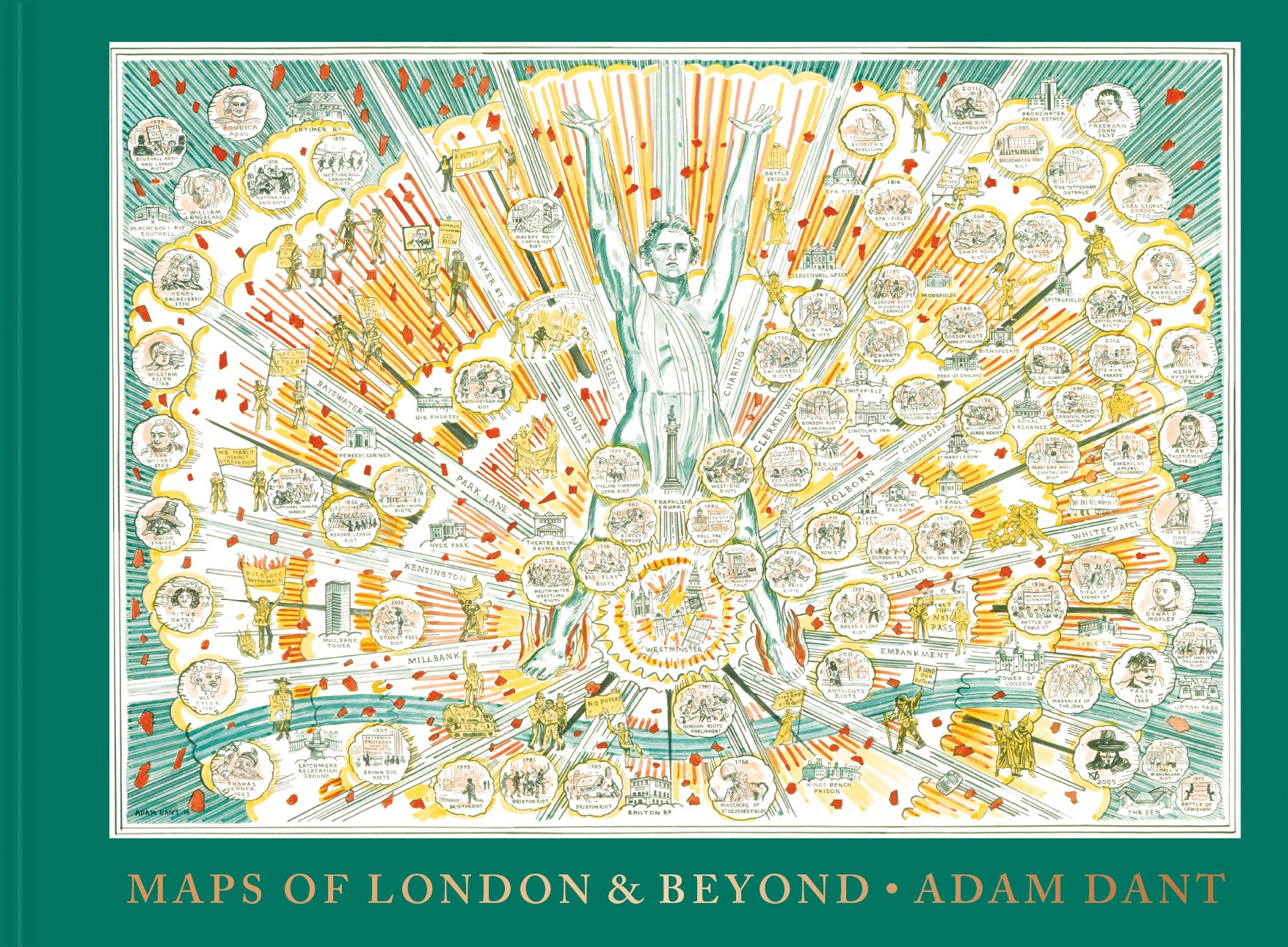
Maps of London and Beyond
From 30,00 EUR -

UK in Maps
From 5,49 EUR