
Map of UK and Ireland (Poster)
Schofield & Sims Ltd
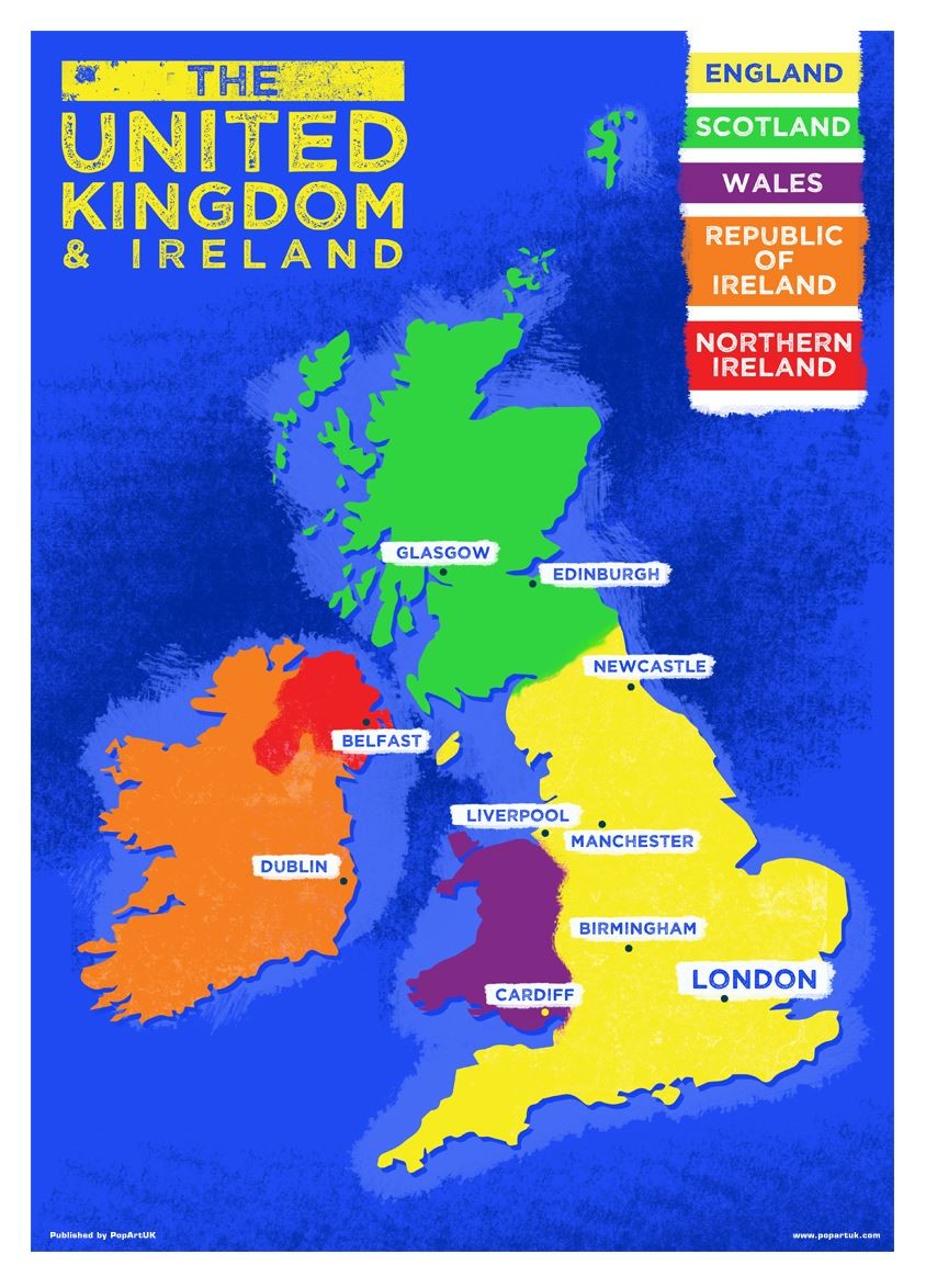
This detailed relief map of the United Kingdom and Ireland is colour coded to show the area of each country and large city. County boundaries are marked, as are rivers, motorways, ports and airports. An explanation of the political relationship between the countries is given, alongside information about the distance from sea level to Ben Nevis.\n\nMap of UK and Ireland\n\nFree UK delivery on this item.\n\nThis brand new item is available with free UK delivery using Royal Mail tracked services.\n\nPlease note that the price advertised is as low as we can go, we do not accept offers.\n\nThis detailed relief map of the United Kingdom and Ireland is colour coded to show the area of each country and large city. County boundaries are marked, as are rivers, motorways, ports and airports. An explanation of the political relationship between the countries is given, alongside information about the distance from sea level to Ben Nevis.\n\nProduct Details\n\nISBN\n9780721709383\n\nFormat\nPoster;
Compare prices (5 shops)
| shop | Price | Action |
|---|---|---|
|
|
13,75 GBP | Go to shop |
|
|
15,23 GBP | Go to shop |
|
|
15,23 GBP | Go to shop |
|
|
15,69 GBP | Go to shop |
|
|
21,79 GBP | Go to shop |
Similar products
-

UK & Ireland Country Map Mini Poster
From 2,99 EUR -
Laminated UK & Ireland Country Map Mini Poster
From 8,99 EUR -

Ireland Map
From 14,95 EUR -

-

-
Ireland: Mapping the Island
From 24,95 EUR