
Yellow Maps Unisex Noa West Highland Way Walking Map 3: Inveroran To Fort William
Yellow Maps
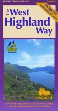
The West Highland Way was the first of Scotlands Great Trails when it opened in 1980. The 96 mile route is usually walked south to north from its start at Milngavie to the finish at Fort William on the banks of Loch Linnhe. It takes between five and eight days to complete through National Parks, rugged scenery, vast wildernesses and varied scenery. This third West Highland Trail map in the three-part series starts at Inveroran on the banks of Loch Tulla before heading towards Kingshouse, Devils Staircase, Kinlochleven and finishing at Fort William near the foot of the UK highest mountain, Ben Nevis. Optional mountain routes to Stob Choire Odhair, Stob Ghabhar, Meall Bhuiridh, Creise, Beinn na Caillich and Mam na Gualainn are included.
Compare prices (1 shop)
| shop | Price | Action |
|---|---|---|
|
|
9,95 GBP | Go to shop |
Similar products
-
-

-

Harveys Unisex Noa Harvey West Highland Way Xt40 Map
From 15,95 EUR -

Rucksack Readers Unisex Noa West Highland Way 5 Map
From 15,99 EUR -

-
