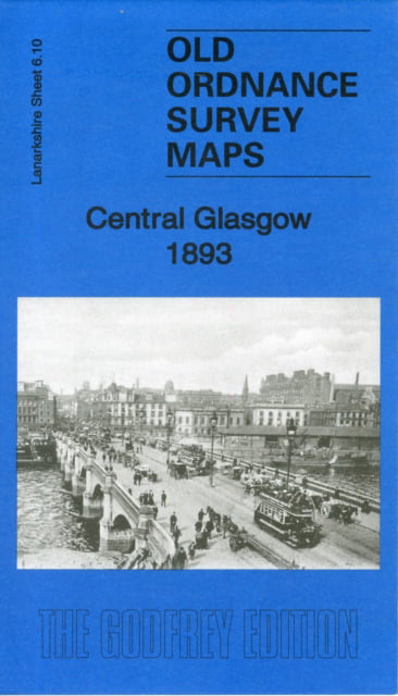
MAP OF Central Glasgow 1893: Lanarkshire Sheet 6.10 by John C. Clayson NEW
Here are the details of maps for Central Glasgow:\n\nLanarkshire Sheet 6.10a Central Glasgow 1893 - published 1986, 2nd Ed 2011; intro by Gilbert Bell. ISBN.978-1-84784-496-5 Lanarkshire Sheet 6.10b Central Glasgow 1909 - published 1985; intro by Andrew Jackson. ISBN.978-0-85054-022-2 Lanarkshire Sheet 6.10c Central Glasgow 1934 - published 2006; intro by Gilbert Bell. ISBN.978-1-84151-952-4 We have published three versions of this map, showing how the area developed across the years. The maps cover the central area of Glasgow, with coverage stretching from West Nile Street westward to Kelvinhaugh Street and Overnewton Square, and from Renfrew Street southward to Houston Street and Wallace Street.\nThese are naturally very busy maps and features include Sauchiehall Street, Blythswood Square, Central Station, Queens Dock North and South Basins, Stobcross Goods station, Charing Cross station, Cranston Hill, Finnieston, Anderston, Stobcross Quay, Lancefield Quay, Andersto.
Compare prices (1 shop)
| shop | Price | Action |
|---|---|---|
|
|
4,50 GBP | Go to shop |
Similar products
-

Central Glasgow 1893 : Lanarkshire Sheet 6.10a
From 3,75 EUR -

-

-
Central Glasgow 1893
From 2,50 EUR -

-