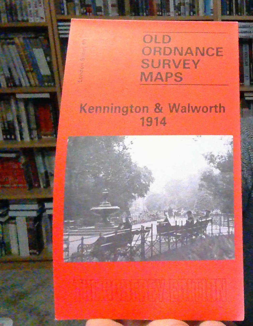
MAP OF Kennington and Walworth 1914: London SHEET 89 , Godfrey, Alan NEW
Here are the details of maps for Kennington & Walworth:\n\nLondon Sheet 89.1 Kennington & Walworth 1871 - published 1994; intro by Alan Godfrey. ISBN.978-0-85054-676-7 London Sheet 89.2 Kennington & Walworth 1894 - published 2001; intro by Alan Godfrey. ISBN.978-1-84151-286-9 London Sheet 89.3 Kennington & Walworth 1914 - published 1986; intro by Stephen Humphrey. ISBN.978-0-85054-053-6 We have published three versions of this map, showing how the area developed across the years. The maps each cover the same busy area, stretching from the east side of Vauxhall Bridge eastward to Walworth Road and a little beyond; and from the south end of Elephant & Castle station southward to Cranmer Road and Addington Square. Walworth Road and Kennington Park Road run north-south through the map, whose many features include the Oval cricket ground, Vauxhall and Walworth Road stations, tramways, Kennington Park, Vauxhall Park, London Pottery, Lambeth Pottery, the e.
Compare prices (1 shop)
| shop | Price | Action |
|---|---|---|
|
|
3,45 GBP | Go to shop |


