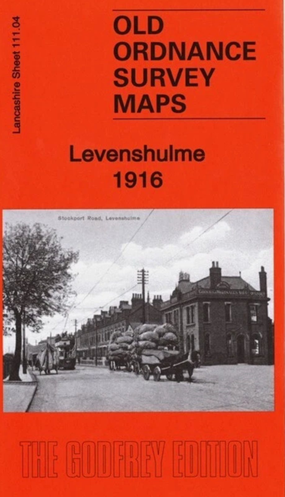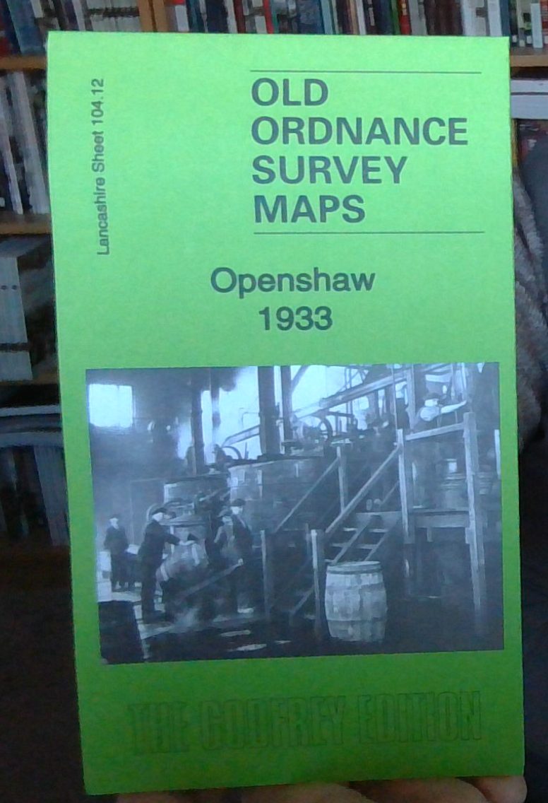
MAP OF Openshaw 1933 Lancashire Sheet 104.12 NEW 9781847849564
Explore the historical landscape of Openshaw with this detailed travel map from 1905, presented in a convenient sheet map format. Lancashire Sheet 104.12 offers a rich portrayal of the region's transportation networks and local history, authored by the esteemed Chris Makepeace. Published by Alan Godfrey Maps in 1987, this map is a valuable tool for enthusiasts of local history and cartography.\n\nMeasuring 220 mm in height and 140 mm in width, this English-language map fits seamlessly into your collection or serves as an informative display piece. Whether you're a scholar of the area or a collector of old maps, this title is an insightful addition to your genre of Local history.\nHere are the details of maps for Manchester (East):\n\nLancs 104.12a Openshaw 1905 - published 1987; intro by Chris Makepeace. ISBN.978-0-85054-096-3 Lancs 104.12b Openshaw 1916 - published 2015; intro by Chris Makepeace. ISBN.978-1-84784-908-3 Lancs 104.12c Openshaw 1933 - published 2016; intro by.
Compare prices (3 shops)
| shop | Price | Action |
|---|---|---|
|
|
3,45 GBP | Go to shop |
|
|
3,45 GBP | Go to shop |
|
|
3,49 GBP | Go to shop |