
MAP OF Wakefield (North) 1890 Yorkshire Sheet 248.03 NEW
Here are the details of maps for Wakefield (N):\n\nYorkshire 248.03a Wakefield (North) 1890 - published 1987; intro by John Goodchild. ISBN.978-0-85054-109-0 Yorkshire 248.03b Wakefield (North) 1913 - published 2021; intro by Alan Godfrey. ISBN.978-1-78721-400-2 We have published two versions of this detailed map, showing how the area changed across the years. The maps cover the centre and northern part of the city.\nFeatures include the Cathedral, Borough Market, St Andrew's church, Westgate station, Prison (left blank for security reasons), St Johns Ward, Northgate Ward, West Riding Lunatic Asylum, St John's Grove, East Moor, Westfield Grove, Newton, St John's Mill, Wrenthorpe Colliery with railway line, Clark Hall.\nThe map links up with Sheet 233.15 Outwood to the north, 248.02 Alvethorpe to the west, 248.07 Wakefield South to the south.
Compare prices (2 shops)
| shop | Price | Action |
|---|---|---|
|
|
3,45 GBP | Go to shop |
|
|
3,45 GBP | Go to shop |
Similar products
-
-
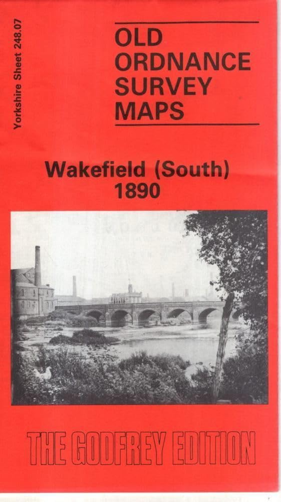
Wakefield (South) 1890 : Yorkshire Sheet 248.07
From 3,75 EUR -

-
-

-
