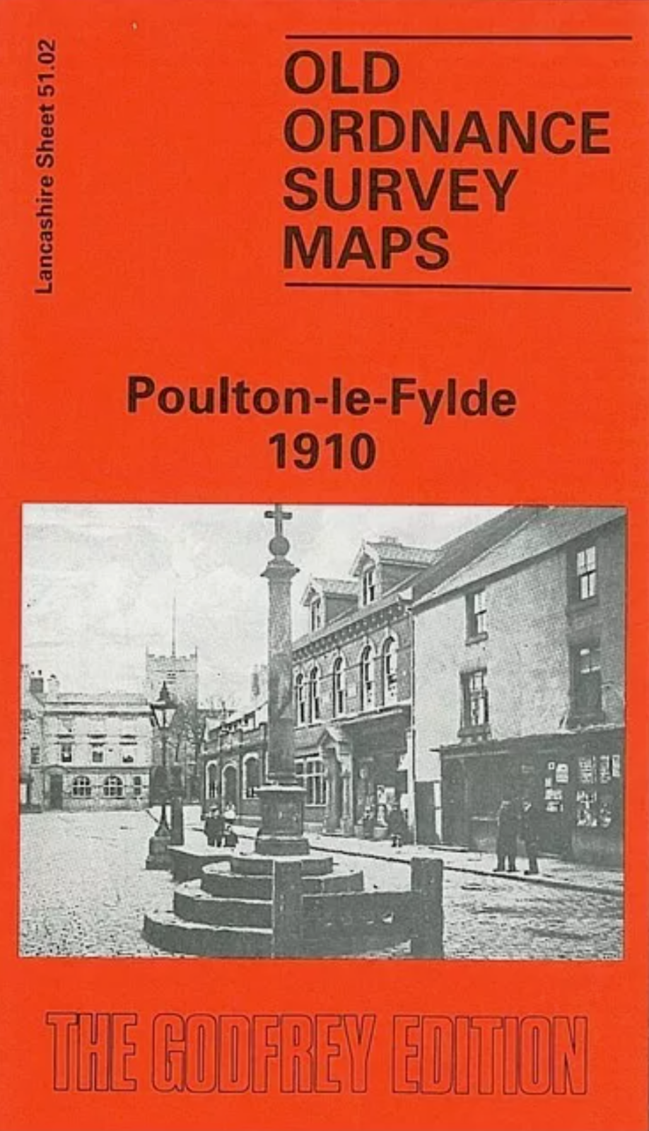
MAP OF Poulton-le-Fylde 1910 Lancashire Sheet 51.02 by Martin Ramsbottom NEW
Here are the details of maps for Poulton-le-Fylde:\n\nLancashire Sheet 51.02 Poulton-le-Fylde 1910 - published 1989; intro by Martin Ramsbottom. ISBN.978-0-85054-222-6 This detailed map covers the historic village of Poulton-le-Fylde, just east of Blackpool. In 1837 this was described as \""an ancient port and metropolis of the Fylde\"". Most of the centre is shown in detail, with individual buildings, and major features include St Chad's church, station, The Green, Little Poulton, The Breck, railway junctions, old railway (shown as disused) with goods station, Little Poulton Hall. On the reverse we include an old directory of Poulton.
Compare prices (2 shops)
| shop | Price | Action |
|---|---|---|
|
|
3,49 GBP | Go to shop |
|
|
3,75 GBP | Go to shop |
Similar products
-

-
-
-

Nelson 1910 Lancashire Sheet 56.07 by Alan Crosby
From 3,75 EUR -
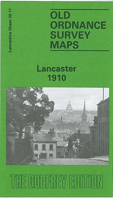
Lancaster 1910 Lancashire Sheet 30.11 by Alan Duckworth
From 3,75 EUR -
