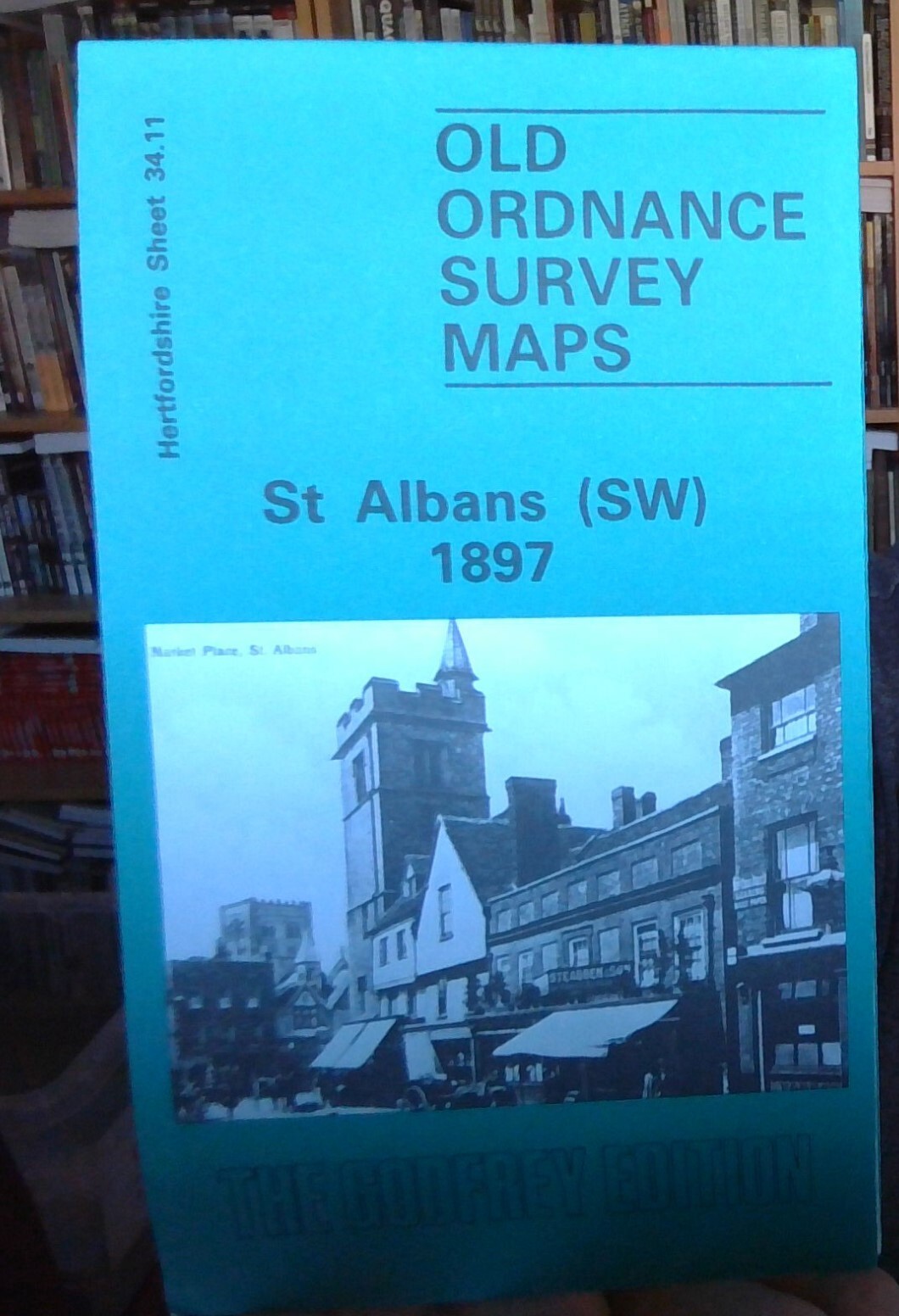
MAP OF St Albans (South West) 1897 HERTFORDSHIRE SHEET 34.11 NEW 9780850542387
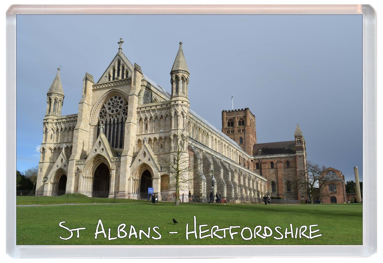
Here are the details of maps for St Albans SW:\n\nHertfordshire Sheet 34.11 St Albans (SW) 1897 - published 1989; intro by Pamela Taylor. ISBN.978-0-85054-238-7 This detailed map covers the SW area of St Albans, including part of the city centre. Coverage runs from the Town Hall southward to St Stephens and westward to Praewood Farm.\nFeatures include the Cathedral, site of Abbey, Town Hall, Roman Wall and Ditch, Verulam Hills, The Causeway, High Street, Chequer Street, Holywell Hill, Market Place, town centre with individual buildings neatly shown, LNWR St Albans Branch with terminus, Abbey Mill, Verulamhills Farm, St Stephens Farm, St Stephens church, malthouses, Gas Works, Westminster Lodge, King Harry pub etc. On the reverse we include a list of private residents from an 1899 directory.\nThis map links up with sheets 34.07 St Albans NW to the north and 34.12 St Albans SE to the east.
Compare prices (1 shop)
| shop | Price | Action |
|---|---|---|
|
|
3,45 GBP | Go to shop |