
MAP OF Gateshead (South) 1894: Tyneside Sheet 23 Godfrey, Alan NEW
Here are the details of maps for Gateshead South:\n\nTyneside Sheet 23a Gateshead South 1894 - published 1981, 3rd Edition 2014; intro by Alan Godfrey. ISBN.978-1-84784-851-2 Tyneside Sheet 23b Gateshead South 1914 - published 2015; intro by Anthea Lang ISBN.978-1-84784-865-9 This detailed map covers the Bensham, Teams and Shipcote areas of Gateshead. Features on the map include Saltwell Park, Gateshead Union Workhouse, Bensham Brick Works, St Paul's Church, Bensham Hall, Christ Church, NER railway Line and Bensham Station, High Team Bridge, Nanny Rawley's Wood and Bensham Tower. We include extracts from early directories on the reverse.\nThe map links up with Tyneside Sheet 22 Dunston to the west, Sheet 18 Newcastle & Gateshead to the north, Sheet 24 Felling to the east, and Durham Sheet 06.08 Low Fell to the south.
Compare prices (1 shop)
| shop | Price | Action |
|---|---|---|
|
|
4,50 GBP | Go to shop |
Similar products
-

Kinghorn 1894 Fifeshire sheet 40.08 by Alan Godfrey
From 3,75 EUR -

Andover 1894 Hampshire Sheet 23.08 by Alan Godfrey
From 3,75 EUR -

Basingstoke 1894 Hampshire Sheet 18.08 by Alan Godfrey
From 3,75 EUR -
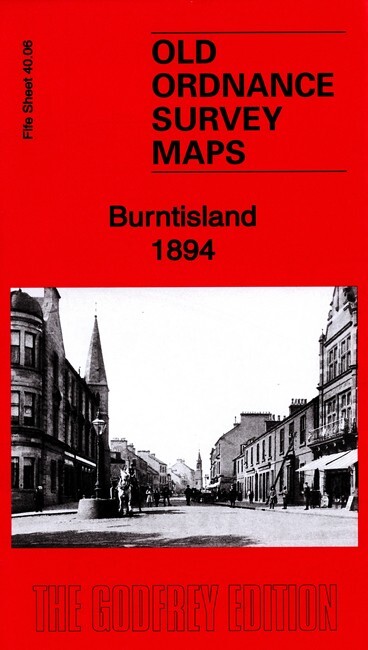
Burntisland 1894 Fifeshire Sheet 40.06 by Alan Godfrey
From 3,75 EUR -

Abderdour 1894 Fifeshire Sheet 40.09 by Alan Godfrey
From 3,75 EUR -

Leslie 1894 Fifeshire Sheet 27.03 by Alan Godfrey
From 3,75 EUR