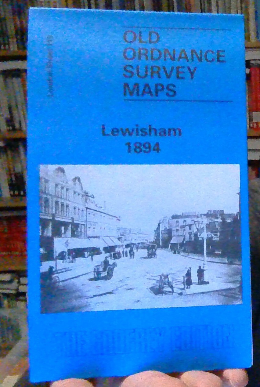
MAP OF Lewisham 1894: London Sheet 119.2 NEW 9780850543117
Here are the details of maps for Lewisham:\n\nSheet 119.1 Lewisham 1863-67 - published 2014; intro by Richard Oliver. ISBN.978-1-84784-774-4 Sheet 119.2 Lewisham 1894 - published 1988; intro by Richard Martin & John Coulter. ISBN.978-0-85054-311-7 Sheet 119.3 Lewisham 1914 - published 2005; intro by John Coulter. ISBN.978-1-84151-816-9 We have published three versions of this map, showing how the area developed across the years.\nThe maps show how Lewisham and Lee became more built up as the years passed. The maps each cover the same area, stretching from Algernon Road and Ladywell station eastward to Lee Road and Burnt Ash Road; from Lewisham Bridge and Belmont Hill southward to Hither Green station. The map therefore really covers the centre and south of Lewisham town (not the station) and much of Lee. Features include Ladywell, High Street, High Road, Lee Green, Lewisham Park, workhouse. Churches include St Stephen's Lewisham, St Mark's, St Swithun's, The Good S.
Compare prices (1 shop)
| shop | Price | Action |
|---|---|---|
|
|
4,50 GBP | Go to shop |
Similar products
-

-

-

-

-

MAP OF Ealing 1894: London Sheet 056.2 NEW 9780850544046
From 4,50 EUR -
