
MAP OF Manchester (New Cross) 1849 Manchester Sheet 24 C Makepeace 9780850543124
Alan Godfrey Maps
Explore the streets of Manchester's past with the 'Manchester (New Cross) 1849: Manchester Sheet 24' map, a detailed facsimile of the original 1849 edition. Produced by Chris Makepeace and Alan Godfrey Maps, this sheet map is part of the Old Ordnance Survey Maps of Manchester series and offers a captivating glimpse into the city's transportation history. The map is printed in English and made in the United Kingdom, measuring 209mm in height, 121mm in width, and has a depth of 2mm, with a weight of just 24g for easy handling.\n\nThis travel map is an invaluable tool for researchers, historians, and local enthusiasts interested in the city's architectural and cultural heritage. The publication year of 1990 ensures that this reproduction captures the essence of the Victorian era's layout, making it an authentic resource for your explorations or scholarly pursuits.\nHere are the details of maps for Manchester Oldham Road:\n\nManchester & Salford Sheet 24 Manchester (New Cross) 1849 -.
Compare prices (2 shops)
| shop | Price | Action |
|---|---|---|
|
|
3,40 GBP | Go to shop |
|
|
3,75 GBP | Go to shop |
Similar products
-

-
-
-
Manchester City Centre 1849 : Manchester Sheet 28
From 3,75 EUR -
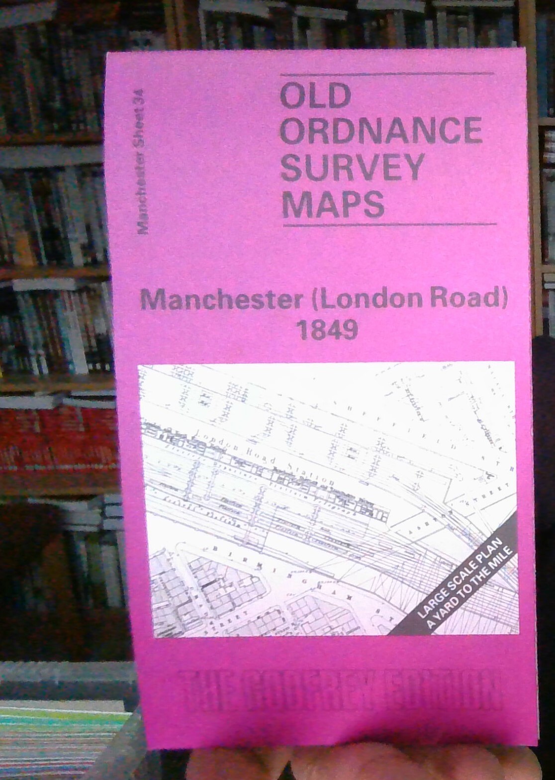
Manchester (London Road) 1849 : Manchester Sheet 34
From 3,75 EUR -
Hulme: St.George's 1849 : Manchester Sheet 37
From 3,75 EUR