

Wimborne Minster 1900 Dorset Sheet 34.08 by Alan Godfrey
This detailed map is double-sided to provide maximum coverage. The main map covers the area from Little Pamphill eastward to the town centre, and beyond that to St Johns Hill and Avenue Road; also from Walford Bridge southward to Poole Road. Features include the Minster church, Julian Brewery, East Brook, Town Brewery, Westfield, West Borough, Wimborne & Cranborne Workhouse, East Street, cemetery, Rowlands, Knobcrook, Walford Bridge, Stone Lane, St Margaret's Almshouses, Julian's Bridge, River Stour, Stone Park, Farrs, Netherwood Mead, Gillingham's Almshouses. On reverse is more than half of adjacent map 35.05 which covers railway station, Cattle Market, Leigh, Green Close Dairy, Leigh Common, Leigh Vinery.
Compare prices (1 shop)
| shop | Price | Action |
|---|---|---|

|
3,75 GBP | Go to shop |
Similar products
-
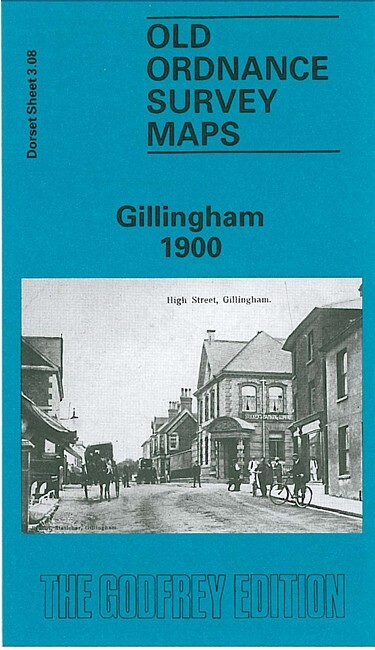
Gillingham 1900 Dorset Sheet 3.08 by Alan Godfrey
From 3,75 EUR -

-
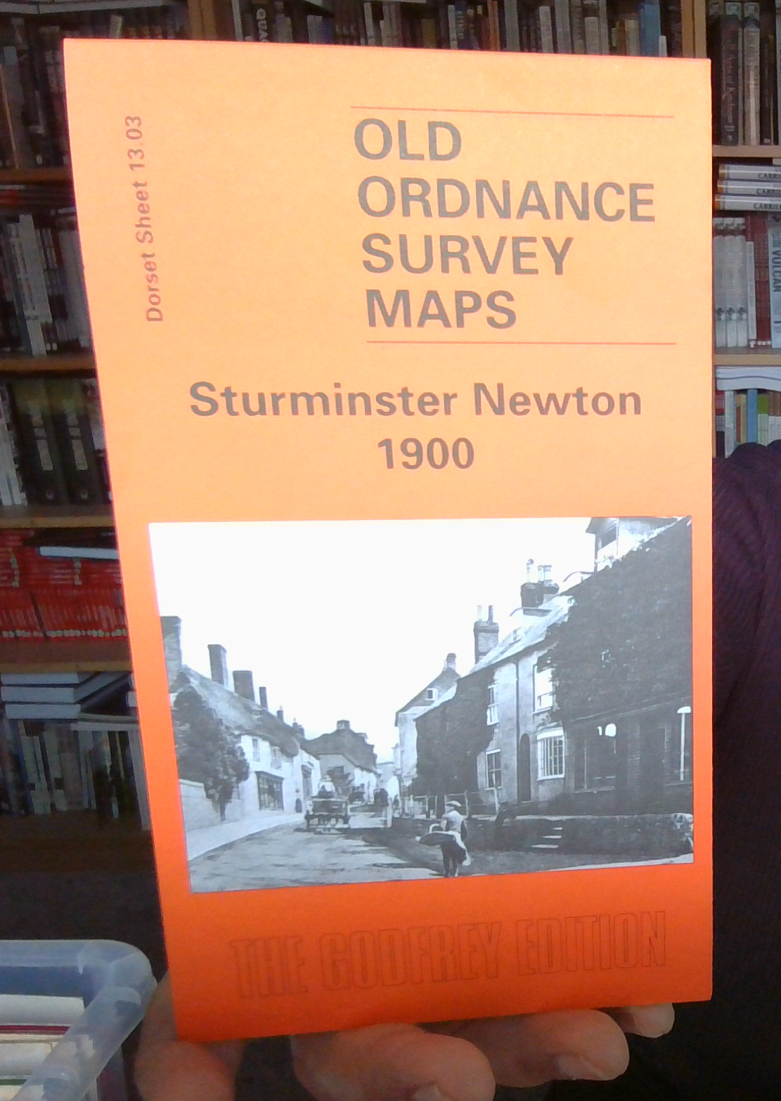
-

-

Sherborne 1901 Dorset Sheet 6.13 by Alan Godfrey
From 3,75 EUR -
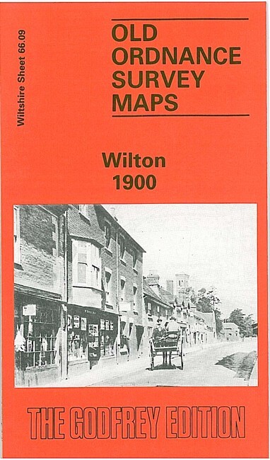
Wilton 1900 Wiltshire Sheet 66.09 by Alan Godfrey
From 3,75 EUR