
Oswaldtwistle & Church 1909 Lancashire Sheet 63.14 by Alan Duckworth
Explore the historical landscape of Oswaldtwistle and Church with this detailed map from 1909, presented on Alan Godfrey Maps' Lancashire Sheet 63.14. Authored by Alan Duckworth, this travel map is part of the renowned Ordnance Survey series and offers a fascinating glimpse into the past, ideal for both collectors and history enthusiasts.\n\nThe map comes in a convenient sheet format, measuring 220 mm in height, and is printed in English. It covers the transportation networks and routes of the region, providing an invaluable resource for researchers and anyone interested in the historical geography of Great Britain. Published in 1990, this publication brings the rich tapestry of British history to your fingertips.\nHere are the details of maps for Oswaldtwistle:\n\nLancashire Sheet 63.14 Oswaldtwistle & Church 1909 - published 19990; intro by Alan Duckworth. ISBN.978-0-85054-379-7 This detailed map covers the west end of Accrington, together with much of Church and Oswaldtwi.
Compare prices (2 shops)
| shop | Price | Action |
|---|---|---|
|
|
3,45 GBP | Go to shop |
|
|
3,75 GBP | Go to shop |
Similar products
-
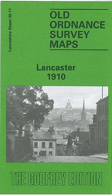
Lancaster 1910 Lancashire Sheet 30.11 by Alan Duckworth
From 3,75 EUR -
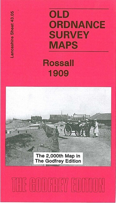
Rossall 1909 Lancashire Sheet 43.05 by Alan Godfrey
From 3,75 EUR -

-

-

-
