
MAP OF Central Huddersfield 1905 Yorkshire sheet 246.15 NEW 9780850544336
Alan Godfrey Maps
This detailed and busy map covers the central area of Huddersfield. Coverage stretches from Crosland Moor Bottom and Gledholt Junction eastward to Storths and Longley Hall, and from St Stephens Street northward to Fitzwilliam Street. Features include the station, River Colne, Longley Park, Huddersfield Canal, Rashcliffe, Greenhead Park, Paddock Foot, Lower Fold, Seed Hill, Exchange, St Paul's church, Kings Mills, Folly Hall, Infirmary, Market Hall, tramways, St Peter's church, Color Works, Water Royd Mills, Gledholt, Springdale Mills and many other mills, making this a map of great interest. Engels in the 1840s thought Huddersfield \""the most beautiful of the factory towns of Lancashire and Yorkshire\"". The 1889 map includes street directory entries for Folly Hall, John William Street, King Street, Manchester Street, Market Place and Street, Station Street, Upperhead Row. This 1905 version also has a selection of street directory entries.
Compare prices (2 shops)
| shop | Price | Action |
|---|---|---|
|
|
3,70 GBP | Go to shop |
|
|
3,75 GBP | Go to shop |
Similar products
-

-
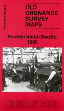
Huddersfield (South) 1905 : Yorkshire Sheet 260.03
From 3,75 EUR -

-

-
-
