
Bromley 1861 Kent Sheet 7.16 by Alan Godfrey
This detailed and early Ordnance Survey map shows the centre of Bromley and the area north and west. Coverage extends from Bromley High Street westward to Clayhill (on the outskirts of Beckenham) and northward to Bromleyhill, Plaistow Lodge and Plaistow Hall. Features include Shortlands station, Beckenham Bridge, Glassmill House, White Hart Hotel, St Peter & St Paul's church, Martins Hill, Market Place, London Road, Farwig, Bromleyhill Wood, Bromley College, Shortlands. On the reverse are street directories in 1876 for East Street, Farwig, Freelands Road, High Street, London Road, Market Square, Plaistow.
Compare prices (1 shop)
| shop | Price | Action |
|---|---|---|
|
|
3,75 GBP | Go to shop |
Similar products
-

Handsworth 1913 Warwickshire Sheet 7.16 by Alan Godfrey
From 3,75 EUR -

Anerley & Penge 1868 Kent Sheet 7.14 by Alan Godfrey
From 3,75 EUR -
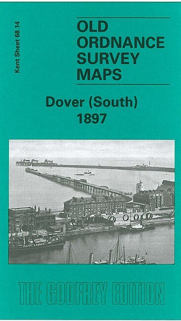
Dover (South) 1897 Kent Sheet 68.14 by Alan Godfrey
From 3,75 EUR -

-

-

Folkestone 1906 Kent Sheet 75.10 by Alan Godfrey
From 3,75 EUR