
MAP OF Stalybridge 1897: Cheshire Sheet 3.10 by Alice Locke NEW 9780850545395
Alan Godfrey Maps
Explore the historical landscape of Stalybridge with this detailed travel map by Alice Locke, a valuable tool for local historians, genealogists, and travel enthusiasts. Published in 1992 by Alan Godfrey Maps, this sheet map is a reprint of the 1897 Ordnance Survey map, featuring Cheshire Sheet 3.10. With an item height of 220 mm, the map presents a compact and readable view of the area, ideal for planning visits or studying the local transportation routes of the past.\n\nThe map comes in English language and is suited to those interested in transportation subjects, providing a fascinating glimpse into the intricate network of roads and railways that were in operation at the end of the 19th century. It is a must-have for anyone looking to delve into the rich tapestry of Cheshire's past or to trace the footsteps of a bygone era.\nHere are the details of maps for Stalybridge:\n\nCheshire Sheet 3.10 Stalybridge 1897 - published 1992; intro by Alice Locke. ISBN.978-0-85054-539-5 Thi.
Compare prices (2 shops)
| shop | Price | Action |
|---|---|---|
|
|
3,45 GBP | Go to shop |
|
|
3,75 GBP | Go to shop |
Similar products
-
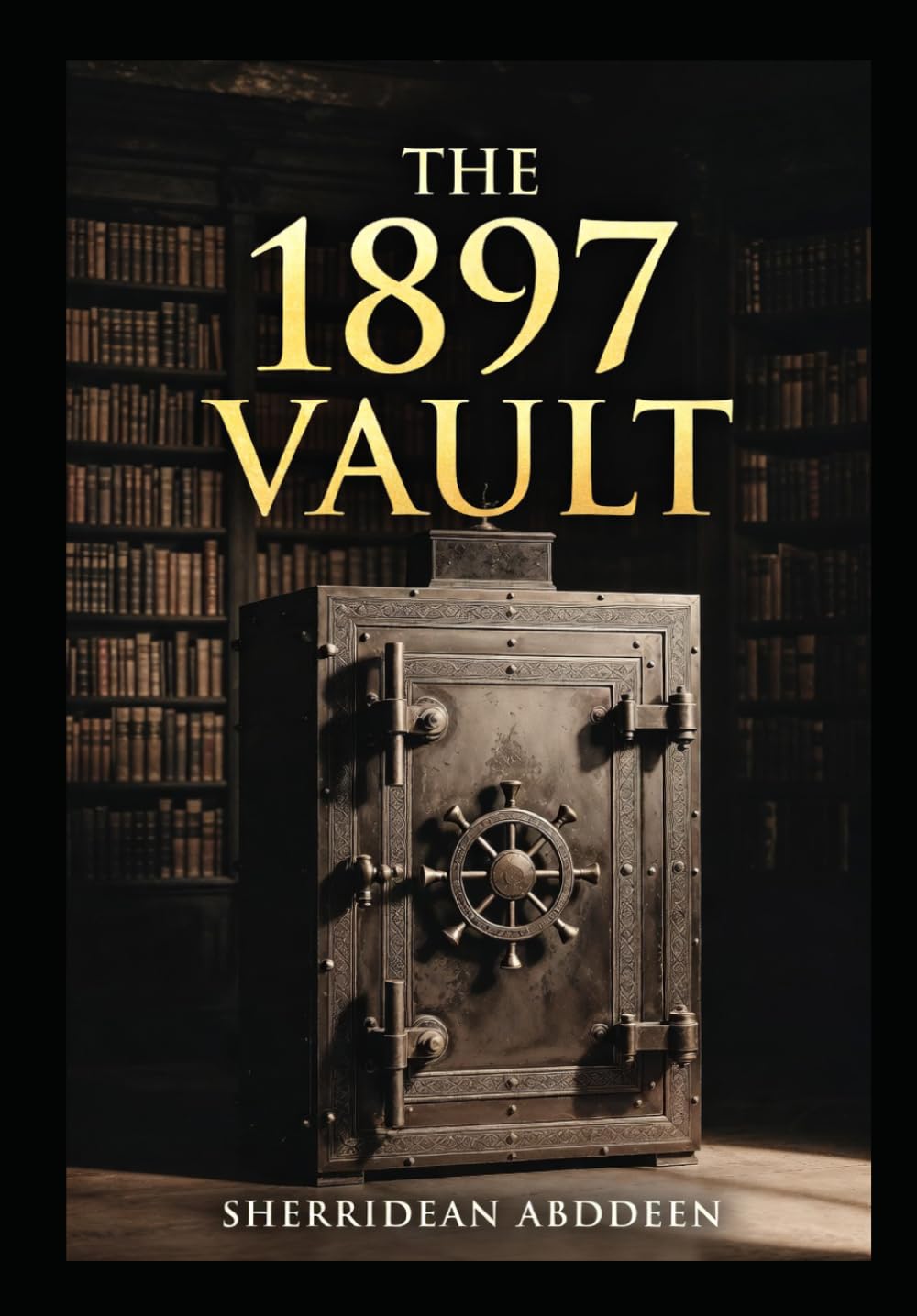
The 1897 Vault
From 20,24 EUR -
Ziska (1897)
From 15,95 EUR -
Homicide 1897
From 34,99 EUR -

ORNEN 1897
From 14,48 EUR -
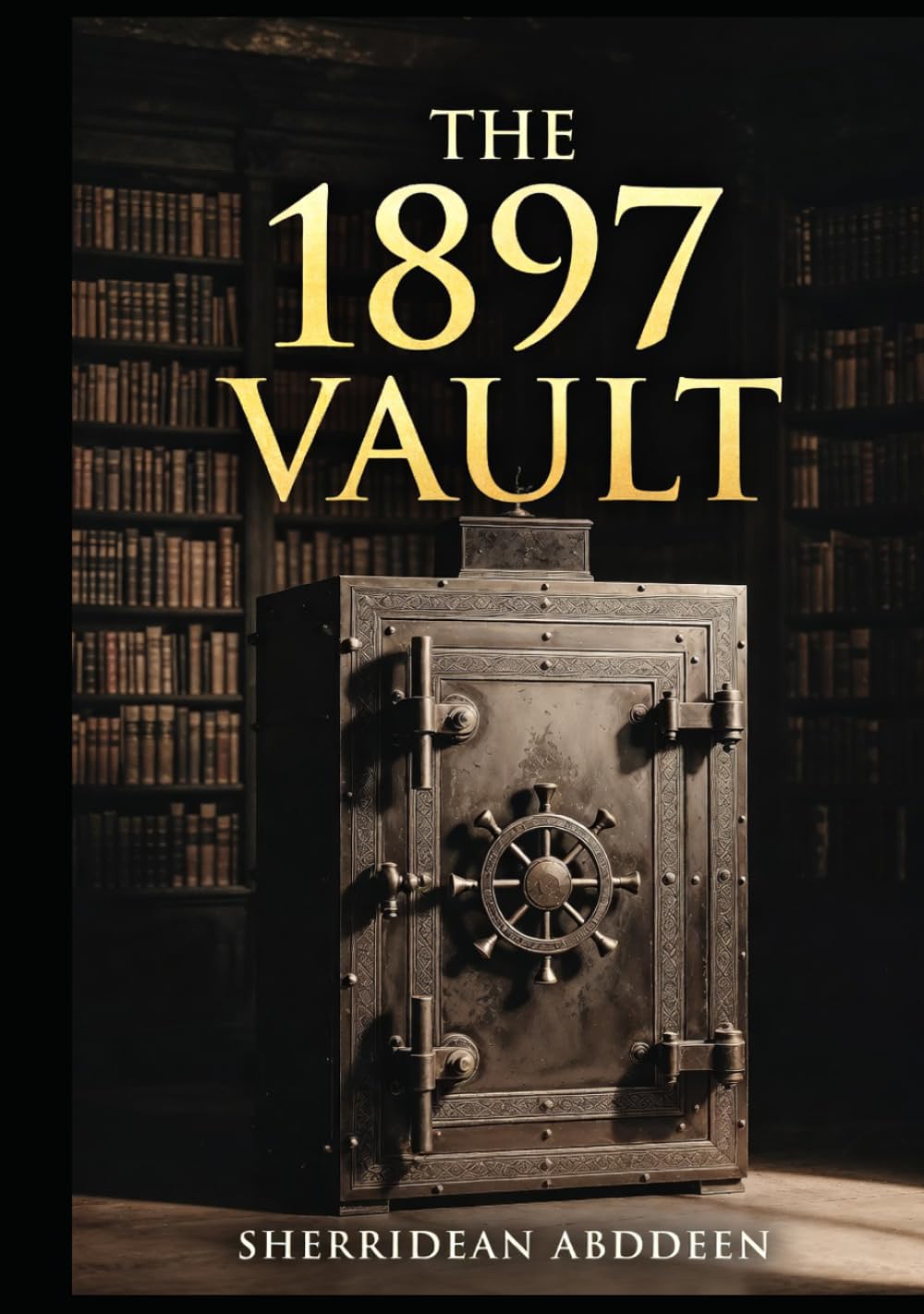
The 1897 Vault
From 26,24 EUR -
Homicide 1897
From 24,99 EUR