
MAP OF Lancaster (South) 1910: Lancashire Sheet 30.15, Duckworth, Alan NEW
Explore the historical landscape of Lancaster (South) in 1910 with this detailed Map of Lancashire Sheet 30.15. Produced by Alan Godfrey Maps, this sheet map is a folded piece of history, allowing you to trace the past with clarity. The work of artist Alan Duckworth brings this period to life, offering a glimpse of the area's heritage through accurate and meticulously researched cartography.\n\nIdeal for enthusiasts of local history or collectors of antique maps, this piece dates back to 1993 and stands at 220 mm in height. It provides a unique window into the past, with its old-style mapping capturing the essence of the era. Whether for education or leisure, this textbook offers a richly informative experience of Lancaster's (South) historical tapestry.\nHere are the details of maps for Lancaster (South):\n\nLancashire Sheet 30.15 Lancaster (South) 1910 - published 1993; intro by Alan Duckworth. ISBN.978-0-85054-569-2 This detailed map covers the southern part of Lancaster. Cov.
Compare prices (1 shop)
| shop | Price | Action |
|---|---|---|
|
|
4,50 GBP | Go to shop |
Similar products
-
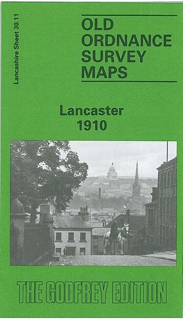
Lancaster 1910 Lancashire Sheet 30.11 by Alan Duckworth
From 3,75 EUR -

-
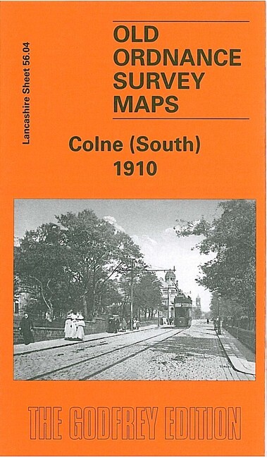
Colne (South) 1910 Lancashire Sheet 56.04 by Alan Crosby
From 3,75 EUR -

-

-

Nelson 1910 Lancashire Sheet 56.07 by Alan Crosby
From 3,75 EUR