

Maidenhead 1897 Berkshire Sheet 24.14 by Edward Sammes
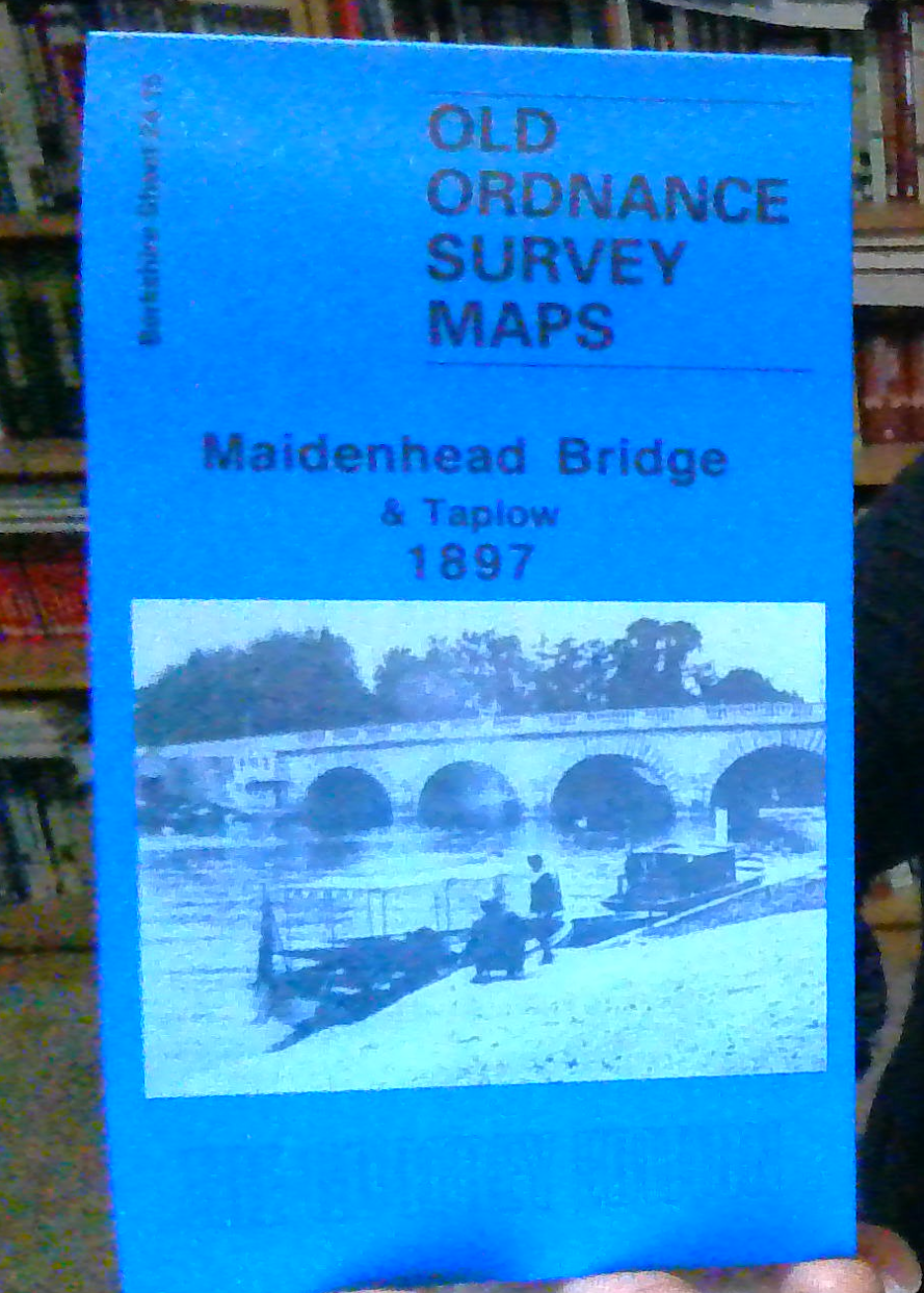
Here are the details of maps for Maidenhead & Taplow:\n\nBerkshire Sheet 24.14 Maidenhead 1897 - published 1994; intro by Edward Sammes. ISBN.978-0-85054-659-0 Berkshire Sheet 24.15 Maidenhead Bridge & Taplow 1897 - published 1995; intro by Edward Sammes. ISBN.978-0-85054-750-4 We have published two detailed maps of Maidenhead. These link up with each other to provide good coverage of the town.\nThe map simply called Maidenhead covers the centre of the town, and an area stretching from Punt Hill and Courthouse Lane eastward to Bridge Street, and from the railway station northward to Cordwalles College and Northtown House. Features include the High Street, Queen Street, Market Street, St Luke's church, Chapel Arches, Eaststreet Cottages, Grenfell Park, Castle Hill, Bath Road, Boyn Hill, All Saints church, All Saints Avenue, workhouse, smallpox hospital, cemetery, Belmont House, Craufurd College, Northtown Cottage, St Ives Place, Kidwells Park.
Compare prices (2 shops)
| shop | Price | Action |
|---|---|---|

|
3,49 GBP | Go to shop |
|
|
3,75 GBP | Go to shop |
Similar products
-
-

-

-
-

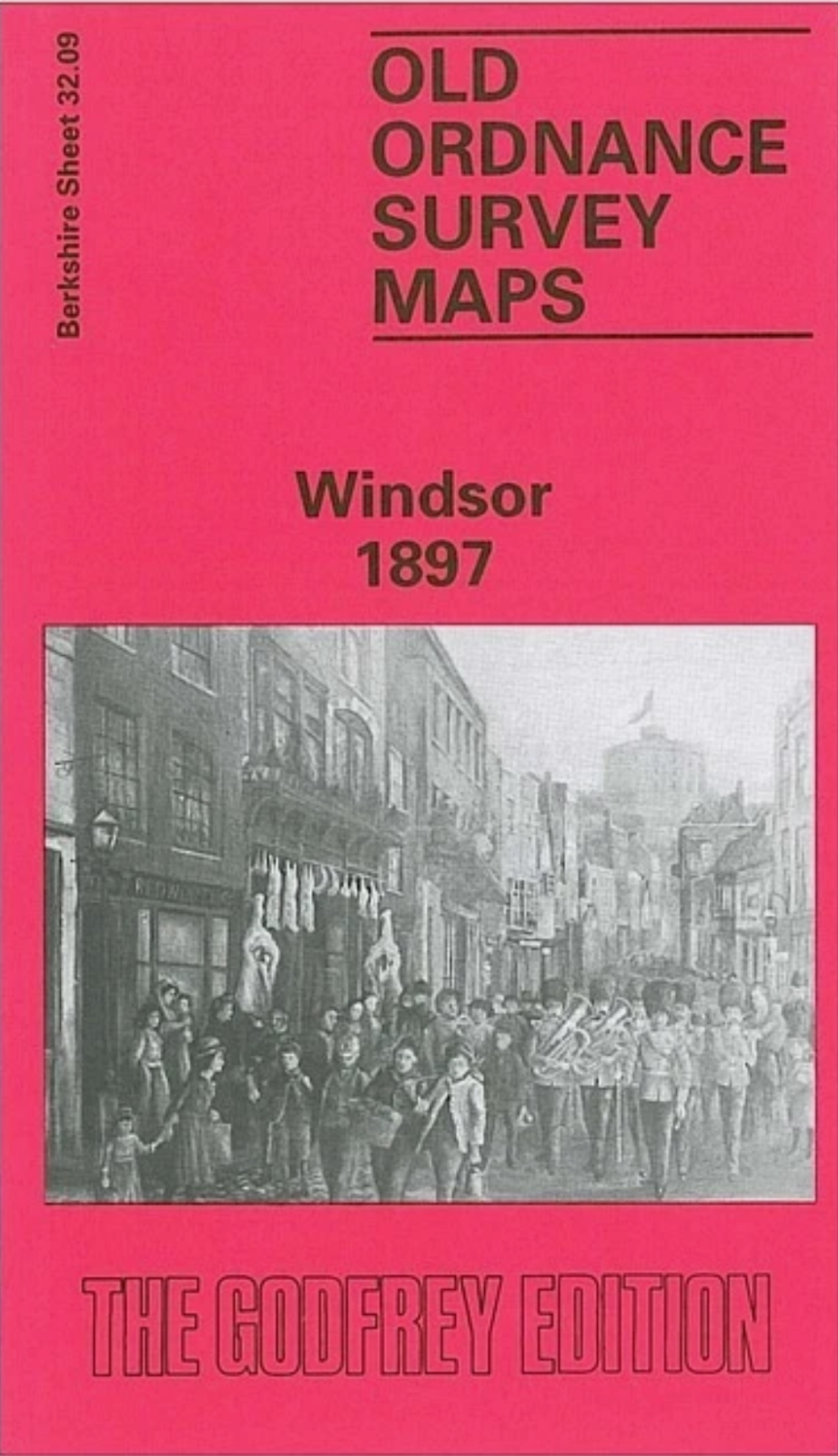
Windsor 1897 Berkshire Sheet 32.09 by Judith Hunter
From 3,75 EUR -

MAP OF Slough 1897 Buckinghamshire Sheet 56.02 NEW
From 3,45 EUR