
MAP OF Sowerby Bridge 1905: Yorkshire Sheet by John Hargreaves NEW 9780850546743
Here are the details of maps for Halifax (SW) & Sowerby Bridge\n\nSheet 230.12a Halifax (SW) & Sowerby Bridge 1892 - published 2012; intro by Alan Godfrey. ISBN.978-1-84784-637-2 Sheet 230.12b Sowerby Bridge 1905 - published 1994; intro by John Hargreaves. ISBN.978-0-85054-674-3 We have published two versions of this detailed map, showing how the area changed across the years. The 1892 version is in full colour, taken from the beautiful 1st Edition OS handcoloured map. The maps cover the area from Warley Town eastward to King Cross and Queen's Road, and from Gibbet Street southward to Sowerby Bridge.\nFeatures include Rochdale Canal and Calder & Hebble Navigation with Basin; Canal Mills, Wharf Street with Christ Church, Scar Bottom, Octagon Tower, Washer Lane Dye Works, Pye Nest, Thorn Tree area, King Cross, St Paul's station, Gibraltar area, Dunkirk Mills, Cote Hill, St John's church, Warley Town, Willow Hall Mills, Albert Woollen Mills, Bairstow, Warley .
Compare prices (1 shop)
| shop | Price | Action |
|---|---|---|
|
|
4,50 GBP | Go to shop |
Similar products
-

-
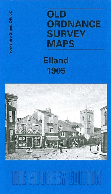
Elland 1905 Yorkshire sheet 246.02 by John Hargreaves
From 3,75 EUR -

-

Greetland 1905 Yorkshire Sheet 246.01 by John Hargreaves
From 3,75 EUR -

-
