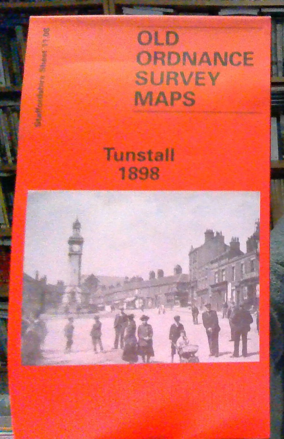
MAP OF Tunstall 1898: Staffordshire Sheet 11.08, Godfrey, Alan NEW
Here are the details of maps for Tunstall:\n\nStaffs Sheet 11.08a Tunstall 1877 - published 2012; intro by Derrick Pratt. ISBN.978-1-84784-554-2 Staffs Sheet 11.08b Tunstall 1898 - published 1995; intro by Malcolm Nixon. ISBN.978-0-85054-749-8 We have published two versions of this detailed map, showing how the area changed across the years. It covers the centre and western area of Tunstall, one of the Potteries 'Six Towns'. Coverage extends from King Street southward to Westport Lake, and from Stanley Street westward to Bradwell Wood.\nThe many features include Market Hall, Market Square, earthenware manufactories, Brownhills Hall, Brownhills Tileries, Jubilee Buildings, Ravensdale Iron Works, stretch of North Staffordshire Railway with sidings and industrial lines, gas works, Trent & Mersey Canal, chemical works, Chatterley Coal & Iron Works, Bradwell Wood Tileries, part of NSR Chesterton Branch, Parkhouse Colliery, High Carr Colliery, part of NSR Talk o' th' Hill.
Compare prices (1 shop)
| shop | Price | Action |
|---|---|---|
|
|
3,45 GBP | Go to shop |
Similar products
-

-

-

Dipton 1916 County Durham Sheet 11.08 by Alan Godfrey
From 3,75 EUR -

-

Nenthead 1898 Cumberland Sheet 34.15 by Alan Godfrey
From 3,75 EUR -

Lockerbie 1898 Dumfriesshire Sheet 51.01 by Alan Godfrey
From 3,75 EUR