MAP OF Denton 1934 Lancashire Sheet 105.14 NEW 9781787211063
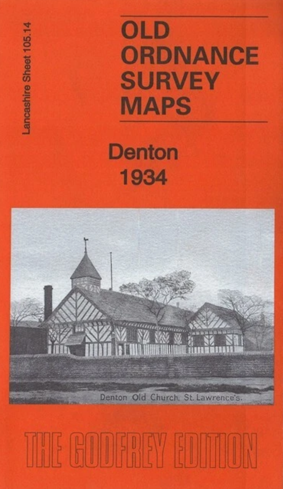
Here are the details of maps for Denton:\n\nLancashire 105.14a Denton 1918 - published 1996; intro by Jill Cronin. ISBN.978-0-85054-811-2 Lancashire 105.14b Denton 1934 - published 2017; intro by Alan Godfrey. ISBN.978-1-78721-106-3 We have published two versions of this map, showing how the area developed across the years. The maps cover the central area of Denton, with Haughton to the east, with coverage stretching from Holland Street and Windmill Lane eastward to Kingston Mills; and from St Lawrence's church northward to Audenshaw cemetery.\nFeatures include tramways and depot, St Anne's church, Broomstair Bridge, River Tame, Peak Forest Canal, numerous small works such as hat manufactories, Victoria Iron Works, Market Place, Town Hall, Christ Church, Kingston Bridge, Broomstair Mill, Planet Foundry, Wellington Fur Works etc.\nThe map links up with Lancashire Sheets 105.10 Guide Bridge to the north, 105.13 Denton West to the west, 112.02 South Denton to the south; also w.
Compare prices (2 shops)
| shop | Price | Action |
|---|---|---|
|
|
3,45 GBP | Go to shop |
|
|
3,49 GBP | Go to shop |

