
MAP OF Birr 1909: Offaly Sheet 35.10 NEW 9780850548181
Here are the details of maps for Birr:\n\nCo Offaly Sheet 35.10 Birr 1909 - published 1996; intro by Michael Byrne. ISBN.978-0-85054-818-1 This very detailed map is double-sided for maximum coverage. The main map covers most of the town of Birr, with coverage from Pound Street southward to Moor Park and Seefin, and from Mount Palmer eastward to Clonoghil House. Features include the Observatory, town centre with all buildings neatly shown, Scurragh, Syngefield, Oxmantown Bridge, Presentation Brothers School, Birr Castle, Cumberland Square, John's Place, Manor Saw Mill, Fair Green, St Brendan's RC church, Industrial School, St Brendan's church, Court House, Monastery, Union Workhouse, Elm Grove etc.\nOn the reverse we include about half of adjacent sheet 35.14 extending coverage southward to include Crinkill, Whiteford Mill, Barracks, Whiteford Laundry, Millbrook Bridge, railway terminus, engine shed etc.
Compare prices (1 shop)
| shop | Price | Action |
|---|---|---|
|
|
6,50 GBP | Go to shop |
Similar products
-
-
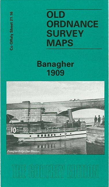
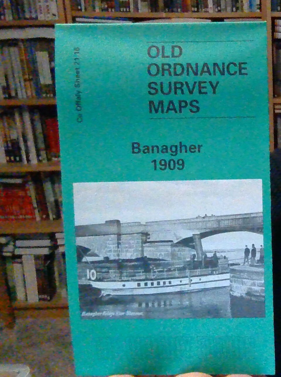
Banagher 1909 County Offaly Sheet 21.16 by Alan Godfrey
From 3,75 EUR -

Laois, Offaly, Tipperary (Sheet map, folded)
From 12,51 EUR -

Laois, Offaly, Tipperary (Sheet map, folded)
From 12,51 EUR -
-
