
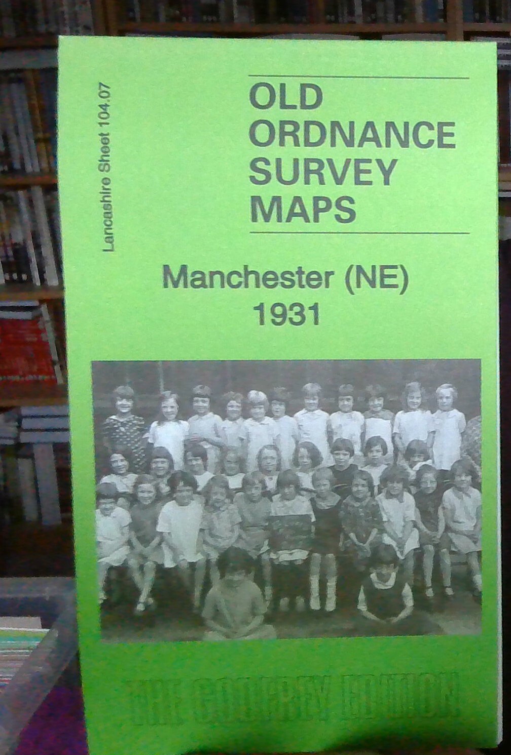
MAP OF Manchester (NE) 1891: Lancashire Sheet 104.07, Makepeace, Chris
Here are the details of maps for Manchester (NE):\n\nSheet 104.07a Manchester (NE) 1891 - published 1996; intro by Chris Makepeace. ISBN.978-0-85054-834-1 Sheet 104.07b Manchester (NE) 1915 - published 2012; intro by Chris Makepeace. ISBN.978-1-84784-576-4 Sheet 104.07c Manchester (NE) 1931 - published 2014; intro by Chris Makepeace. ISBN.978-1-84784-782-9 We have published 3 versions of this detailed map, showing how the area changed across the years.\nThe maps cover a major area of Manchester, with coverage stretching from Smithfield Market eastward to Bradford Iron Works, and from Newton Street northward to Collyhurst Street. Features include the eastern approaches to Victoria Station (though not that station), Oldham Road Goods Station, the Ardwick Branch, Beswick Goods station, Rochdale Road Gas Works, stretches of Rochdale Road and Oldham Road, Rochdale Canal, part of Miles Platting, northern part of Ancoats, Ancoats Hospital, Holt Town, several works beside cana.
Compare prices (1 shop)
| shop | Price | Action |
|---|---|---|
|
|
4,50 GBP | Go to shop |
Similar products
-

-
-

-

The Manchester Ship Canal, By Chris Makepeace
From 7,00 EUR -
The Manchester Ship Canal, By Chris Makepeace
From 6,00 EUR -

Moston 1933 Lancashire Sheet 96.16 by Chris E Makepeace
From 3,75 EUR