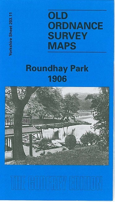
Roundhay Park 1906 Yorkshire Sheet 203.11 by G C Dickinson
This detailed map covers the village of Roundhay, on the north side of Leeds, and much of Roundhay Park. Coverage stretches from North Park Grove eastward to Elmet Hall, and from Park Farm and Mansion Hotel southward to Oakwood Lane. Princess Avenue runs through the map, with tramway. Features on the map include Lady Wood, Park Avenue, Gledhow Hill, The Holmsted, the eastern edge of Lidgett Park, Carr Head, refreshment room and other features in the park (boat house, lavatories, shelter, band stand etc), Waterloo Lake, Elmet Hall, St John's church. We include a very good selection of street directory entries for the neighbourhood on the reverse, including The Avenue, The Drive, Leeds & Wetherby Road, Oakwood Avenue, Old Park Road.
Compare prices (2 shops)
| shop | Price | Action |
|---|---|---|
|
|
3,70 GBP | Go to shop |
|
|
3,75 GBP | Go to shop |
Similar products
-

-
-

-
-
Kirkstall 1906 Yorkshire Sheet 202.16 by G C Dickinson
From 3,75 EUR -

East Leeds 1906 Yorkshire Sheet 218.03 by G C Dickinson
From 3,75 EUR