
Gloucester (South East) 1901: Gloucestershire Sheet 33.03, Godfrey, Alan NEW
Here are the details of maps for Gloucester SE:\n\nGloucestershire Sheet 33.03 Gloucester (SE) 1901 - published 1996; intro by Alan Godfrey. ISBN.978-0-85054-859-4 This detailed map covers the SE area of Gloucester, with coverage stretching from Seymour Road and Spa Field eastward to Coney Hill, and from Park Road southward to Linden Road. The western two-thirds of the map is largely residential including Barton and Lower Barton Wards. Features include the GWR Gloucester Branch, with Cheltenham South Junction; the Midland Railway Bristol & Birmingham line; cemetery, Saint Bridge, Chequer's Bridge, St James church, Emlyn Foundry & Engineering Works, tramways and depot, Tredworth, infectious diseases hospital, MR High Orchard Branch, The Park, etc. On the reverse we include a selection of street directory entries, incl Alfred Street, Barton Street, Brunswick Square, Park Road.\nThe map links up with Gloucs sheet 25.15 City of Gloucester to the north and 33.02 Gloucester SW.
Compare prices (1 shop)
| shop | Price | Action |
|---|---|---|
|
|
3,45 GBP | Go to shop |
Similar products
-

Tetbury 1899 Gloucestershire Sheet 58.13 by Alan Godfrey
From 3,75 EUR -

-

Trench 1901 Shropshire sheet 36.07 by Alan Godfrey
From 3,75 EUR -

Kilnhurst 1901 Yorkshire Sheet 283.16 by Alan Godfrey
From 3,75 EUR -
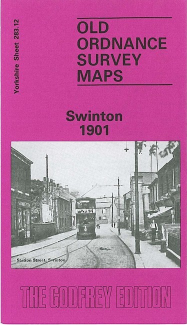
Swinton 1901 Yorkshire Sheet 283.12 by Alan Godfrey
From 3,75 EUR -

Sherborne 1901 Dorset Sheet 6.13 by Alan Godfrey
From 3,75 EUR