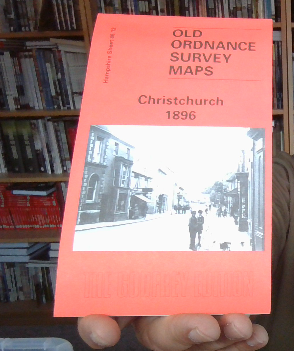
Christchurch 1896: Hampshire Sheet 86.12 (Old O.S. Maps of Hampshire), Godfrey,
Here are the details of maps for Christchurch:\n\nHampshire Sheet 86.12 Christchurch 1896 - published 1997; introduction by Alan Godfrey. ISBN 978-0-85054-885-3 This detailed map covers the centre of Christchurch and the area to the south and east. Within the town the High Street, Castle Street, Bridge Street and the magnificent church are covered but please note the map does not extend north to the station. The map extends east to Purwell Cross, and across Stanpit Marsh to Stanpit and Blackberry Point. Although the sheetlines are not very kind, the many inlets, including Mother Siller's Channel, make this an attractive map and remind us that Christchurch first became important as a port. On the reverse we include a directory of the town in 1895.
Compare prices (2 shops)
| shop | Price | Action |
|---|---|---|
|
|
3,45 GBP | Go to shop |
|
|
3,75 GBP | Go to shop |
Similar products
-

Fordingbridge 1896 Hampshire Sheet 62.03 by Alan Godfrey
From 3,75 EUR -
-

Worthing 1896 Sussex Sheet 64.15 by Alan Godfrey
From 3,75 EUR -

Bognor 1896 Sussex Sheet 74.06 by Alan Godfrey
From 3,75 EUR -

Ware 1896 Hertfordshire Sheet 29.12 by Alan Godfrey
From 3,75 EUR -

Basingstoke 1894 Hampshire Sheet 18.08 by Alan Godfrey
From 3,75 EUR