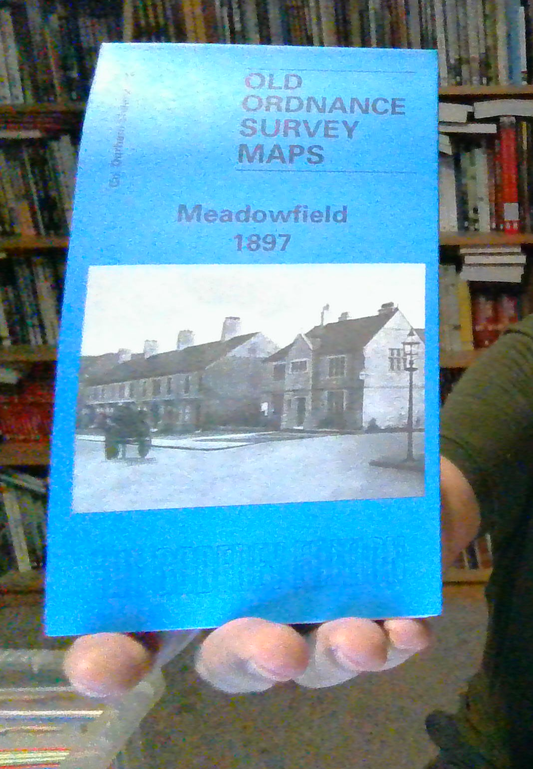
MAP OF Meadowfield 1897: Durham Sheet 26.12 by David Butler (Sheet map, 1997)
Here are the details of maps for Meadowfield:\nCo Durham Sheet 26.12 Meadowfield 1897 - published 1997; intro by David Butler. ISBN.978-0-85054-916-4 This very detailed map covers a colliery area SW of the City of Durham. Three collieries are shown, each with its coke ovens: Littleburn Colliery stands alongside the NER main line which runs down the eastern part of the map. A short spur leads to Brownhey Colliery. To the west the large Brandon Colliery, with A, B and C Pits, stands alongside the NER Bishop Auckland Branch. Part of the pit villages of Brandon Colliery and Littleburn are also shown (they continue north onto the Langley Moor map) but 2 small villages are shown complete: Meadowfield, on the main road, with its St John's church; and Browney Colliery village, which had 3 chapels, next to each other. On the reverse we include the Brandon Parish entry from an 1894 directory. This fascinating map gives a splendid portrait of Durham's mining past.\nThe map links up with Sh.
Compare prices (2 shops)
| shop | Price | Action |
|---|---|---|
|
|
3,45 GBP | Go to shop |
|
|
3,75 GBP | Go to shop |
Similar products
-

Sacriston 1897 County Durham Sheet 19.08 by David Butler
From 3,75 EUR -

Tow Law 1897 County Durham Sheet 25.11 by David Butler
From 3,75 EUR -

-

-
-
