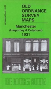
MAP OF Manchester (Harpurhey & Collyhurst) 1891 Lancashire Sheet 104.03 NEW
Here are the details of maps for Manchester Harpurhey:\n\nLancs 104.03a Manchester (Harpurhey & Collyhurst) 1891 - published 1997; intro by Chris Makepeace. ISBN.978-0-85054-939-3 Lancs 104.03b Manchester (Harpurhey & Collyhurst) 1921 - published 2016; intro by Chris Makepeace. ISBN.978-1-84784-979-3 Lancs 104.03c Manchester (Harpurhey & Collyhurst) 1931 - published 2016; intro by Alan Godfrey. ISBN.978-1-84784-984-7 We have published three versions of this map, showing how the area changed across the years.\nThe maps covers the Collyhurst, Smedley and Harpurhey area on the north side of Manchester. Coverage stretches from Paley Street northward to Pickering Street and from St Luke's church Cheetham eastward to Monsall Hospital. Features include railways with Miles Platting station, Brewery Siding, Newton Heath Loop, west end of Newton Heath depot, wagon works, Cheetham Hill Junction with carriage shed; Queen's Park, old quarries, brick works, Monsall Hospi.
Compare prices (4 shops)
| shop | Price | Action |
|---|---|---|
|
|
3,45 GBP | Go to shop |
|
|
3,45 GBP | Go to shop |
|
|
3,49 GBP | Go to shop |
|
|
3,49 GBP | Go to shop |