
MAP OF Upney 1915: Essex Sheet 86.04a by Tony Clifford (Sheet map, 1998) NEW
Here are the details of maps for Barking (East):\n\nEssex (New Series) 86.04a Upney 1915 - published 1998; intro by Tony Clifford. ISBN.978-0-85054-949-2 Essex (New Series) 86.04b Barking (Upney) 1939 - published 2006; intro by Tony Clifford. ISBN.978-1-84151-866-4 \nEssex (Old Series) 74.09 Barking & Upney 1897 - published 1994; intro by Tony CliffordThese three maps cover the eastern side of Barking. However, they are from different series, the 'Old' and 'New' Series Essex maps, and so the sheetlines are somewhat different. The 'New' Series maps link up more conveniently with the London Series, so we will discuss them first.\nThe Upney 1915 map captures the eastern side of Barking showing the streets off Longbridge Road gradually being built up: Cecil Avenue, Wilmington Gardens, Hulse Avenue etc. North of this is Barking Park. From here coverage extends a mile eastward into open country. The hamlet of Upney is bottom centre, with its Isolation Hospital, Manor Farm is .
Compare prices (1 shop)
| shop | Price | Action |
|---|---|---|
|
|
3,45 GBP | Go to shop |
Similar products
-
-

-

-

-

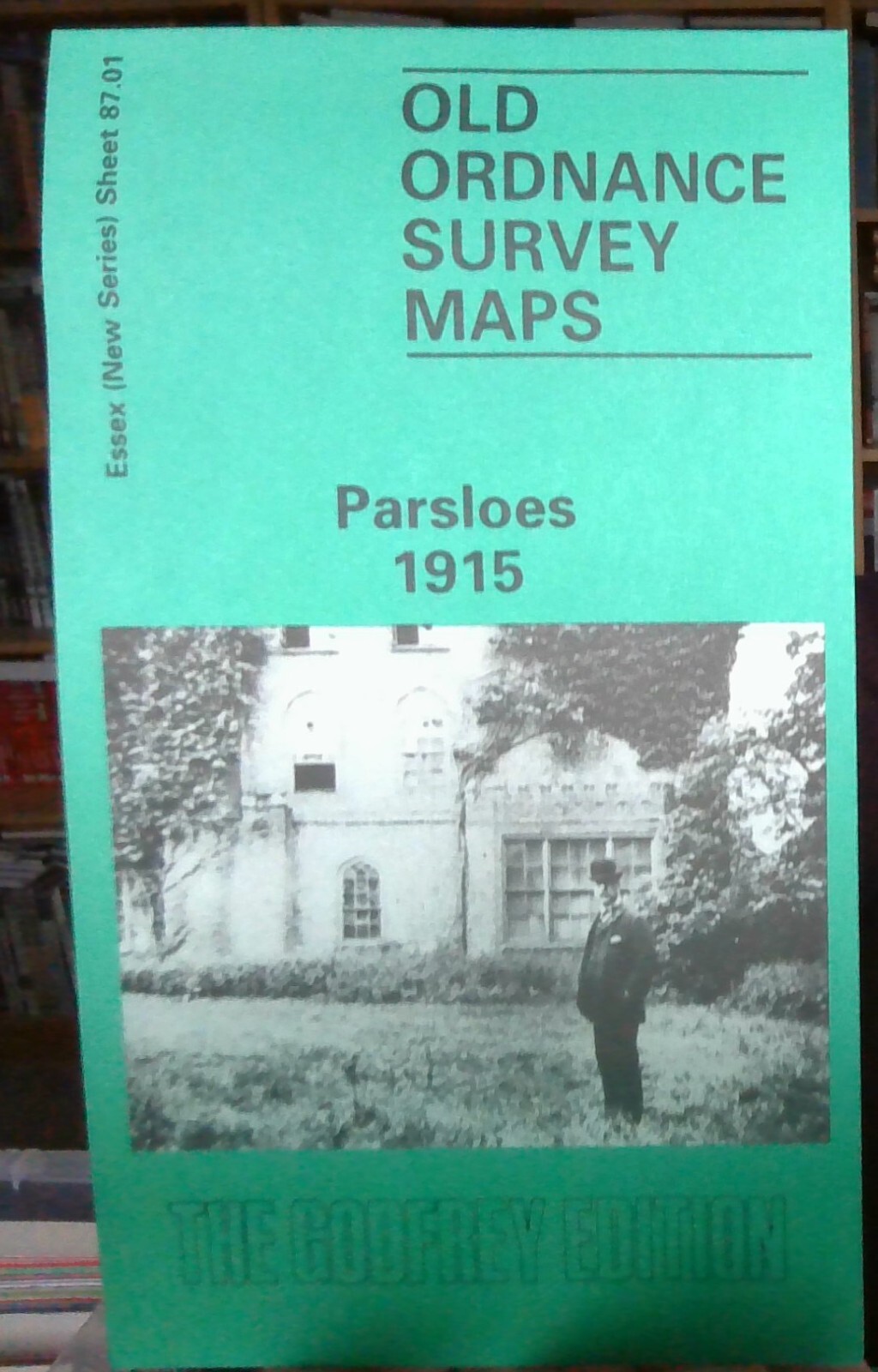
Parsoles 1915 Essex Sheet 87.01 by Tony Clifford
From 3,75 EUR -

Dagenham 1915 Essex Sheet 87.02 by Tony Clifford
From 3,75 EUR