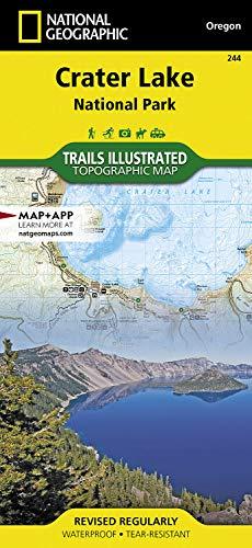
Crater Lake National Park Map Trails illustrated national geographic
The remnant of a volcano and known for its remarkably blue water, Crater Lake is the deepest lake in the United States. National Geographic's Trails Illustrated map of Crater Lake National Park is designed to meet the needs of outdoor enthusiasts by combining valuable information with unmatched detail of Oregon's only national park. Created in partnership with local land management agencies, this expertly researched map provides a variety of useful information to help you get the most from your visit, including summaries of featured summer hikes and cross-country ski trails. Additional maps highlighting winter recreation at both Crater Lake and Diamond Lake, and extensive information on the park, the caldera, weather, Rim Drive, and the Pacific Crest National Scenic Trail is included as well. Trail mileage between intersections and use designations will help you choose the path that's right for you. The Rogue Umpqua and Volcano Legacy scenic byways are noted for those wishing to takep
Compare prices (2 shops)
| shop | Price | Action |
|---|---|---|

|
12,99 GBP | Go to shop |
|
|
16,15 GBP | Go to shop |
_original_2025-10-28_12-49-36-775.jpg)