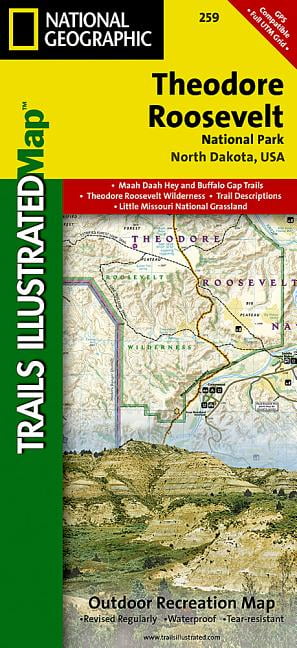
Theodore Roosevelt Park Map Trails illustrated national geographic
Expertly researched and created in partnership with local land management agencies, National Geographic's Trails Illustrated map of Theodore Roosevelt National Park includes both the north and south units of the park, as well as the Magpie and Elkhorn section of the Little Missouri Grassland. In the North Unit of the park, the map includes the Maah Daah Hey Trail, Little Mo Nature Trail, Caprock Coulee Nature Trail, Buckhorn Trail, Achenbach Trail, and Juniper camping area. The Maah Daah Hey Trail then winds south through the Little Missouri National Grassland, meeting Bennett Trail, then passes into Magpie, then Elkhorn, then into the South Unit of Theodore Roosevelt National Park. Map features in the South Unit include Ridgeline Nature Trail, Coal Vein Nature Trail, Buck Hill Trail, Wind Canyon Trail, Jones Creek Trail, Paddock Creek Trail, Talkington Trail, and the Petrified Forest. Also included in this portion of the map is Buffalo Gap Trail, Roundup Horse Camp, Cottonwood, Painp
Compare prices (2 shops)
| shop | Price | Action |
|---|---|---|

|
12,99 GBP | Go to shop |
|
|
16,15 GBP | Go to shop |