Appalachian Trail Schaghticoke Mountain to East Map
Appalachian Trail: Schaghticoke Mountain to East Map\n\nWaterproof Tear-Resistant Topographic MapThe Schaghticoke Mountain to East Mountain Topographic Map Guide makes a perfect traveling companion when traversing the Connecticut and Massachusetts sections of the Appalachian Trail (A.T.). The trail in this section of New England skirts the northwest corner of Connecticut and traverses what remains of a once mighty mountain range. The hiking is moderate through Connecticut and the climbs are short, but can be steep. As the trail crosses into Massachusetts, it enters the Berkshires, characteristic of wooded hills, outstanding views with pleasant, flat hiking along the Berkshire plateau. Each A.T. Topographic Map Guide includes detailed topographic maps at a detail of 1 inch = 1 mile. Each page is centered on the A.T. and overlaps with the adjacent pages so there is little chance of getting lost. Along the bottom of each page is a trail profile that shows the distance between shelters, p
Compare prices (2 shops)
| shop | Price | Action |
|---|---|---|
|
|
12,99 GBP | Go to shop |
|
|
16,15 GBP | Go to shop |
Similar products
-
Appalachian Trail East Mountain to Hanover Map
From 12,99 EUR -
Appalachian Trail Springer Mountain to Davenport Gap Map
From 12,99 EUR -
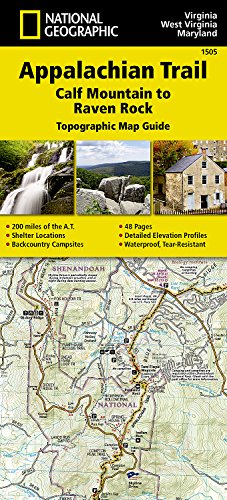
Appalachian Trail Calf Mountain to Raven Rock Map
From 12,99 EUR -

-

-