Glyndwr's Way Adventure Atlas (A-Z Adventure series): with Ordnance Survey ma...
Collins
Glyndwr's Way Adventure Atlas (A-Z Adventure series): with Ordnance Survey mapping [Paperback] Geographers A-Z Map Co Ltd\n\nProduct Overview\nThe A-Z Adventure Series of maps combines the best of OS and A-Z, creating the\nperfect companion for walkers, off-road cyclists, horse riders and anyone\nwishing to explore the great outdoors. Glynd r's Way is a 135 mile (217 km)\nNational Trail in mid-Wales from Knighton to Welshpool via Machynlleth.\nLinking locations connected with Owain Glynd rs, the trail passes through the\ntranquil Radnorshire Hills and across open moorland and rolling farmland with\nviews over Cadair Idris and Lake Vyrnwy. The route on the map is clearly\nhighlighted in yellow with mileage markers to gauge distances when planning\nsections of the walk to enjoy. This official National Trail Map of Glynd r's\nWay features 43 pages of continuous Ordnance Survey 1:25000 mapping providing\ncomplete coverage of Glynd r's Way. The atlas includes a route planner showing\ndist-
Compare prices (1 shop)
| shop | Price | Action |
|---|---|---|
|
|
23,12 GBP | Go to shop |
Similar products
-

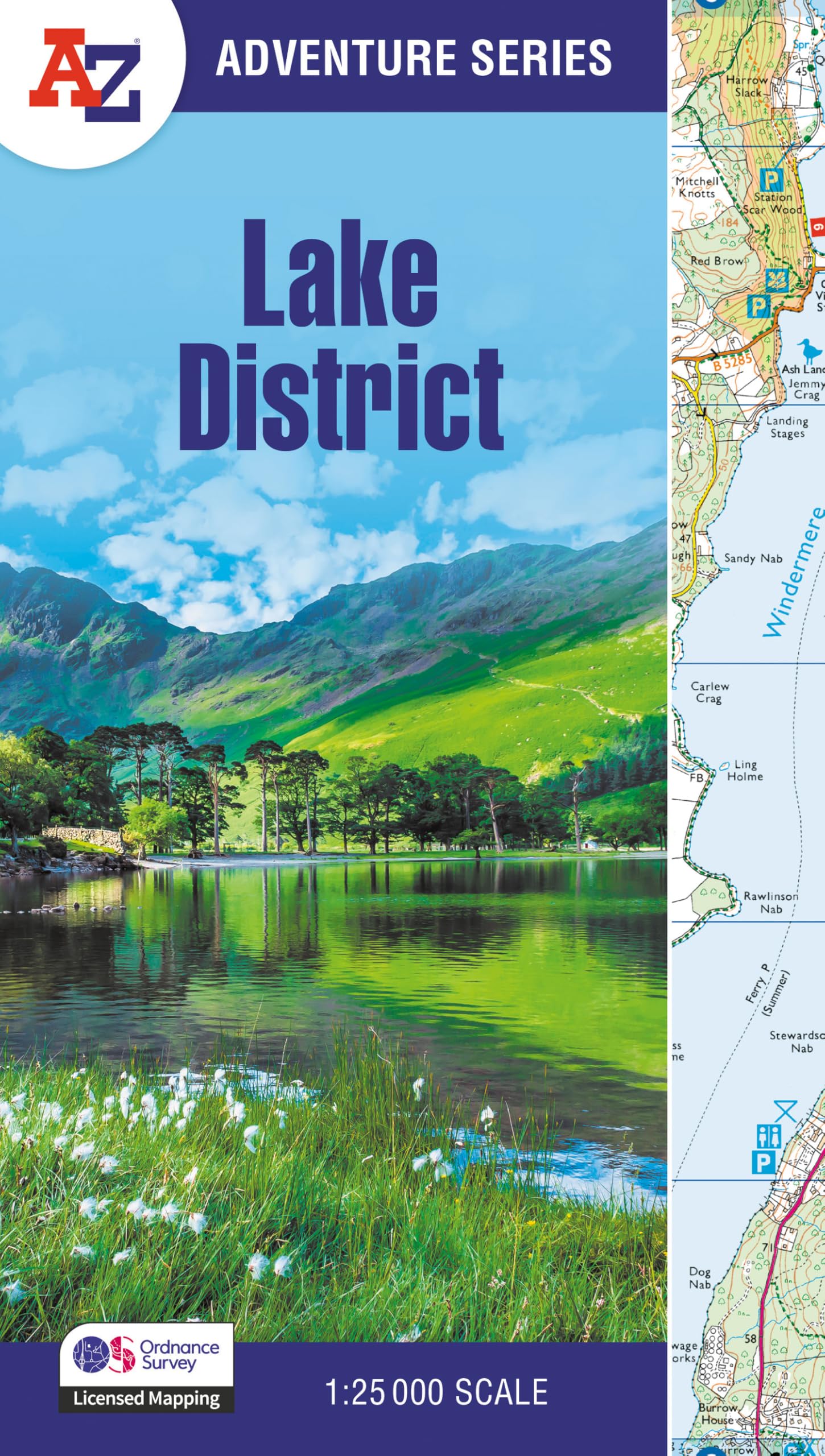
Lake District Adventure Atlas : With Ordnance Survey Mapping
From 10,39 EUR -
-
-
-
-