2700 North and West Wales Chart Pack - 9781786794963
Imray
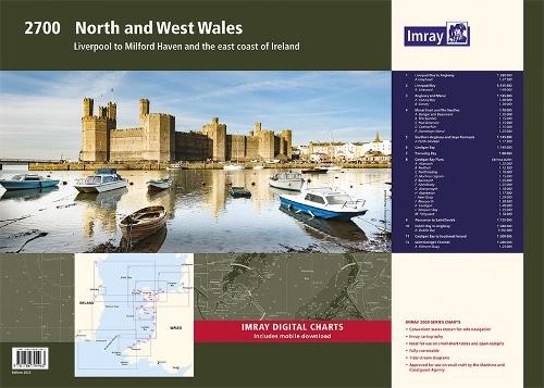
Imray Chart Pack 2700: North and West Wales\n This comprehensive A2 chart pack provides detailed coverage of the North and West Wales coastline, including Anglesey, the Ll\u0177n Peninsula, and Cardigan Bay. Ideal for small craft navigation, this fully revised edition features 12 charts with the latest UKHO data. What\u2019s Inside This chart pack includes a range of charts for safe and efficient navigation: Small-Scale Passage Charts \u2013 Overview charts for offshore and coastal route planning. Coastal Charts \u2013 Covering inshore waters and key sailing areas. Approach Charts \u2013 Detailed plans for harbour entries and river mouths. Large-Scale Harbour Charts \u2013 Close-up views of marinas, anchorages, and port facilities. Features of Imray Chart Packs Extensive Coverage \u2013 12 charts covering North and West Wales, including approaches to Ireland. Detailed Navigational Information \u2013 Includes all necessary data for passages, approaches, and mooring. Designed for Smally
Compare prices (3 shops)
| shop | Price | Action |
|---|---|---|
|
|
50,30 GBP | Go to shop |
|
|
50,59 GBP | Go to shop |
|
|
59,95 GBP | Go to shop |