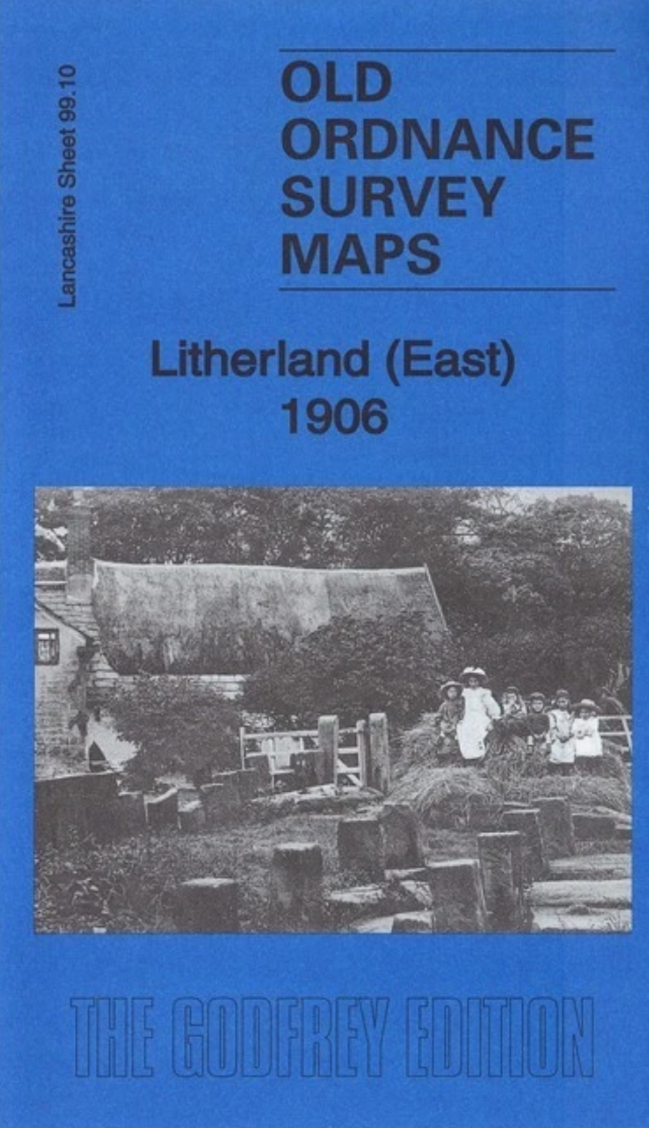
MAP OF Litherland (East) 1906 Lancashire Sheet 99.10 by Kay Parrott NEW
Here are the details of maps for Litherland:\n\nLancashire Sheet 99.10 Litherland East 1906 - published 2017; intro by Kay Parrott. ISBN.978-1-78721-066-0 This detailed map is double-sided for maximum coverage.\nThe main map covers a relatively rural area east of Litherland. Features include St Philip's church, Stanley Park, Brook Farm, tar distillery, railway with Aintree Sorting Sidings, Ford station, Stand Park Farm.On the reverse we include part of adjacent sheet 99.06 extending coverage north to include Convent of the Good Shepherd, Gorsey Lane Bridge, Tailors Arms Inn, Edge Farm, Windles Green (at top of map) and part of Buckley Hill.This map links up with sheet 99.09 Waterloo to the west, 99.11 Aintree to the east, and 99.14 Bootle North to the south.
Compare prices (2 shops)
| shop | Price | Action |
|---|---|---|
|
|
3,49 GBP | Go to shop |
|
|
3,75 GBP | Go to shop |


