MAP OF Barkingside 1939: Essex Sheet 78.07 by Alan Godfrey NEW
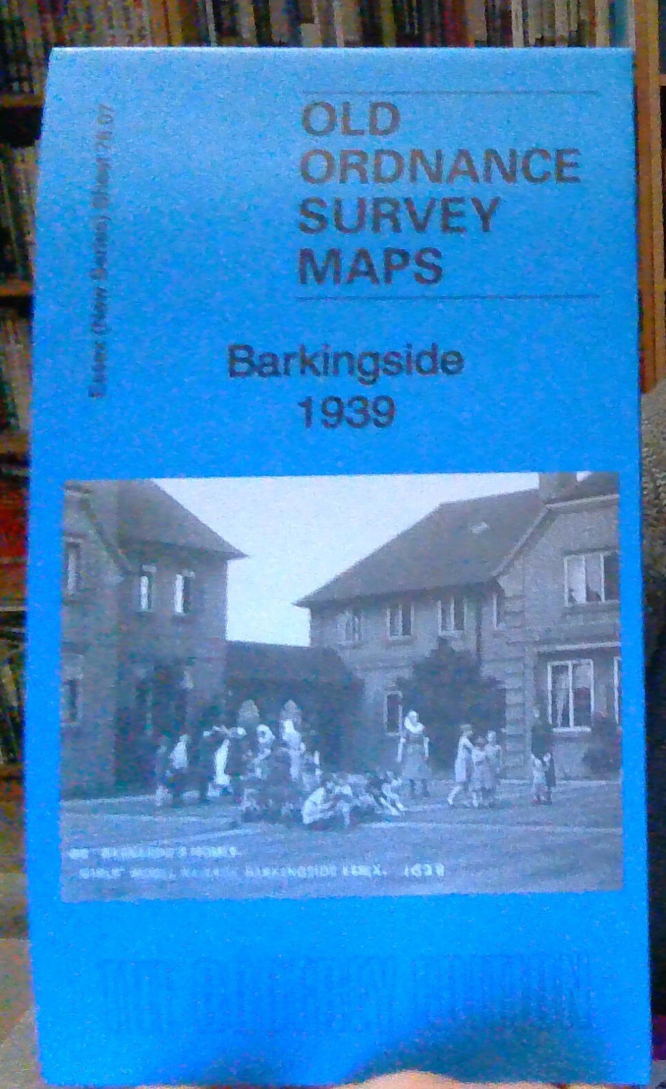
Here are the details of maps for Barkingside:\n\nEssex (New Series) 78.07 Barkingside 1939 - published 2017; intro by Alan Godfrey. ISBN.978-1-78721-082-0 This detailed map covers the village of Barkingside, north of Ilford. It covers an area from Peel Drive eastward to Tanners Lane and southward to Kenwood Gardens.\nFeatures include part of Barnardo's Girls Village Home, Gaysham Hall, Great Gearies, Little Gearies, Holy Trinity church, Dr Johnson pub, Clayhall Park etc. We include Barkingside directories for 1908 and 1922 on the reverse.\nAn index map showing the areas covered by this and adjacent maps is available here. The map links up with London Sheets 16 Snaresbrook to the west, Essex sheet 78.08 Aldborough Hatch to the east and 78.11 Gants Hill to the south.
Compare prices (2 shops)
| shop | Price | Action |
|---|---|---|
|
|
3,45 GBP | Go to shop |
|
|
3,75 GBP | Go to shop |


