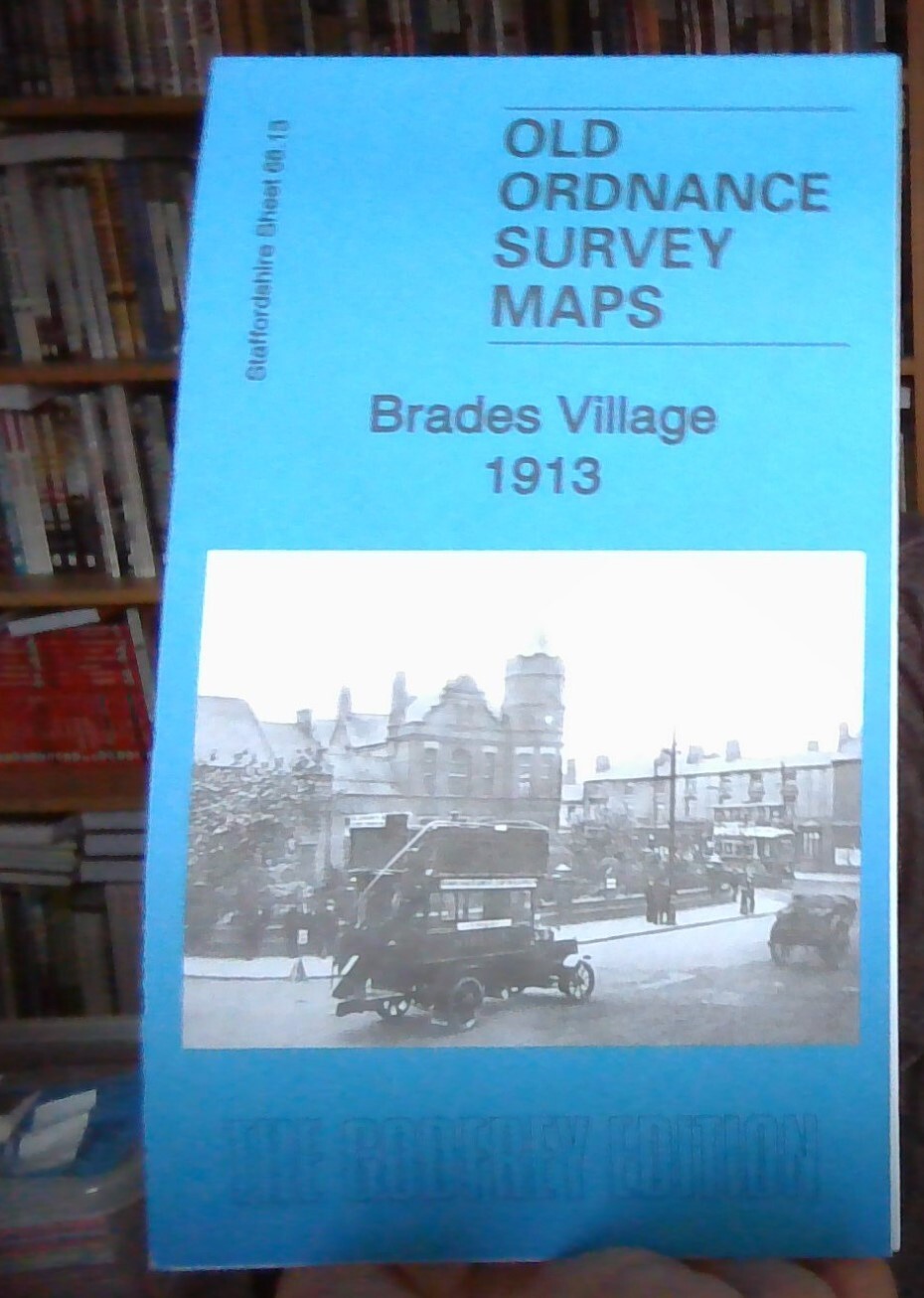
MAP OF Brades Village 1913: Staffordshire sheet 68.13b by Barrie Trinder NEW
Here are the details of maps for Oldbury (West):\n\nStaffs 68.13 Brades Village 1902 - published 1991; intro by Mary Bodfish. ISBN.978-0-85054-424-4 Staffs 68.13 Brades Village 1913 - published 2018; intro by Barrie Trinder. ISBN.978-1-78721-116-2 We have published two versions of this detailed map, covering the western part of Oldbury, Brades Village, Rounds Green and the rather bleak mining area to the west. It has much of interest, especial for those interested in the mining and industrial history of the area.\nFeatures include Brades Village, Birmingham Canal (Wolverhampton Level and Old Line), GWR Oldbury Branch with Oldbury station and Goods station, Portway Brick Works, Little Fields, Shidas Lane Brick Works, Alston Brick Works, Rounds Green, St James church, Oldbury Boiler Works, Globe Brick Works, Brades Steel Works, Bury Hill Park, Griffin Iron Foundry, Brades Brick Works, Gower Brick Works, Brandon Colliery, Brades Farm, Grace Mary Collieries with tramway, Gipsy .
Compare prices (1 shop)
| shop | Price | Action |
|---|---|---|
|
|
4,50 GBP | Go to shop |


